Scottish Highlands

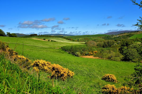
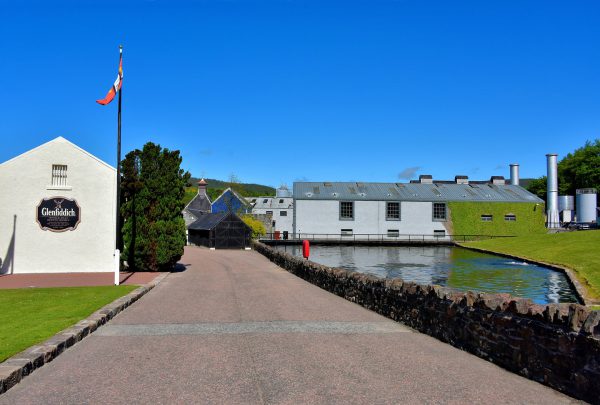
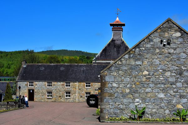
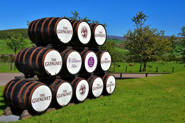
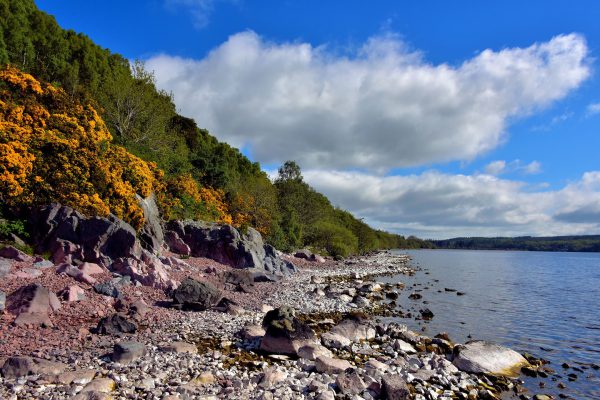
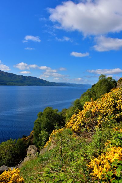
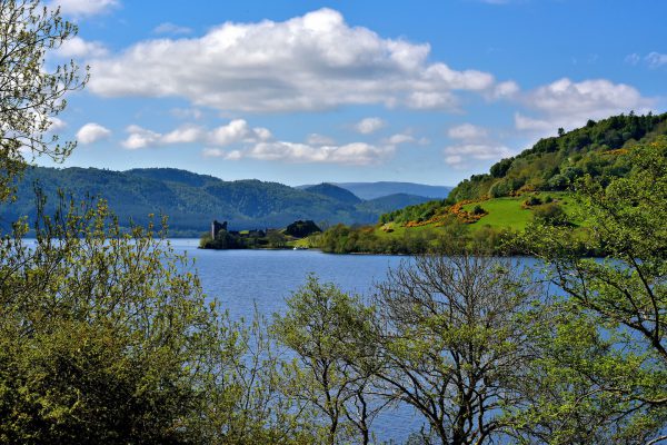
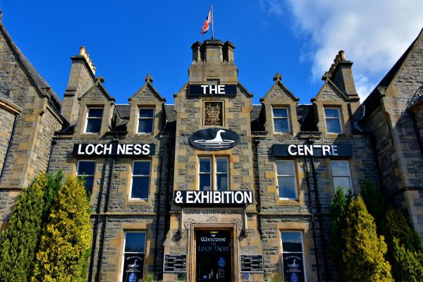
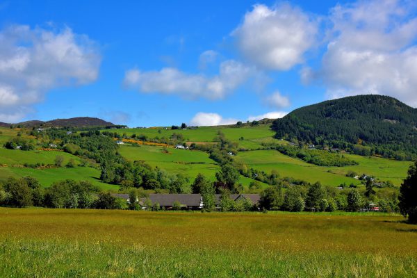
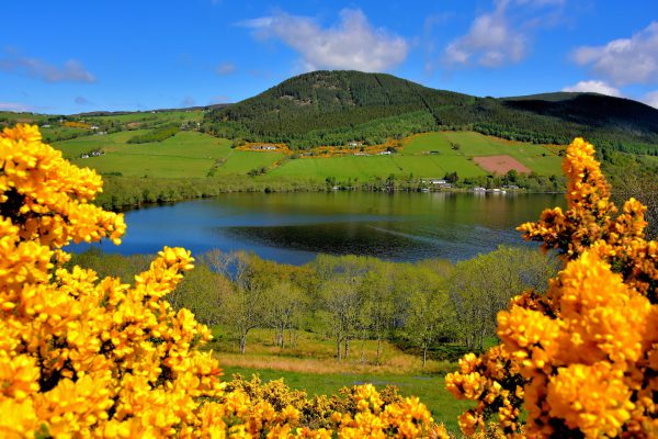
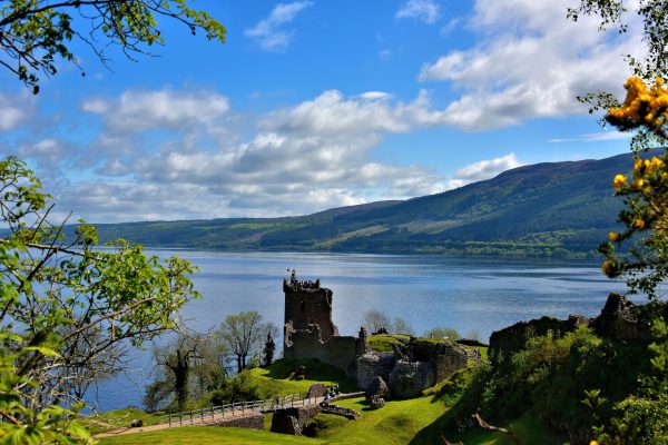
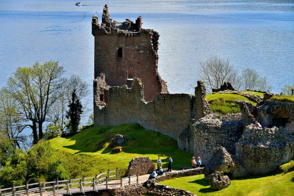
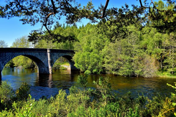
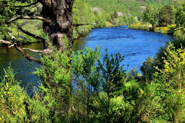
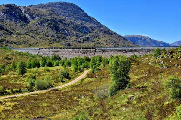
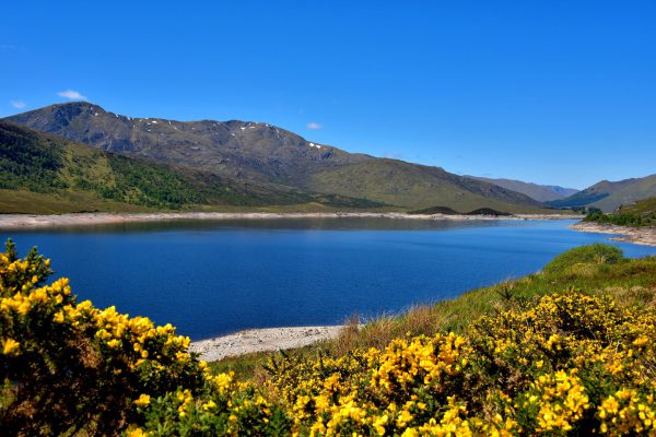
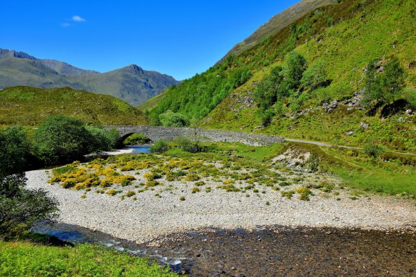
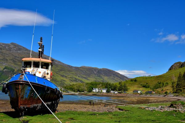
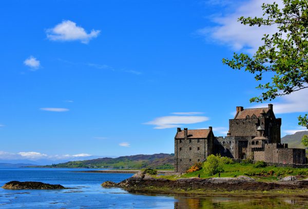
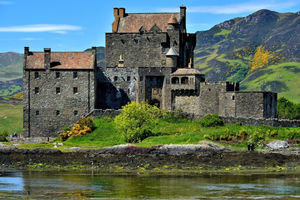
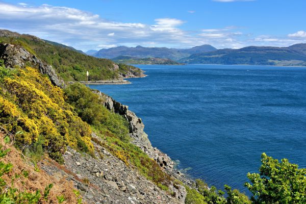
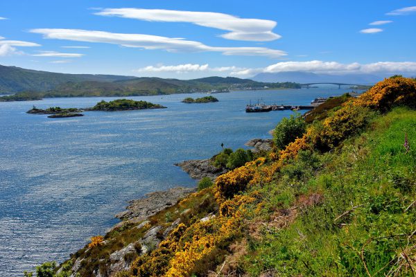
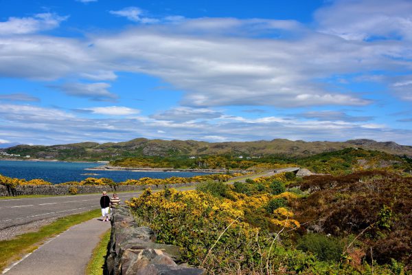
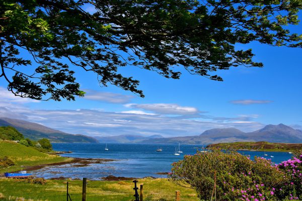
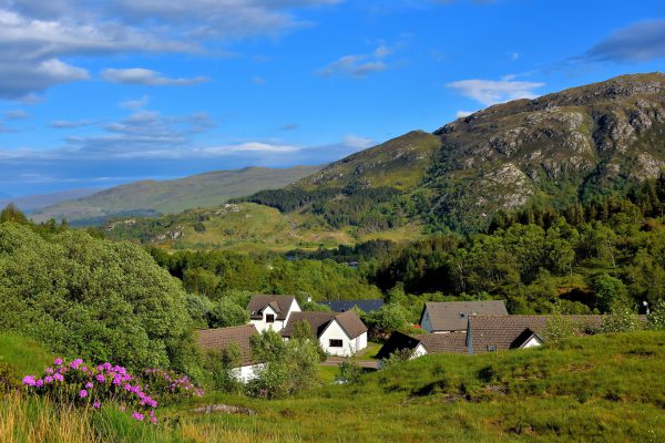
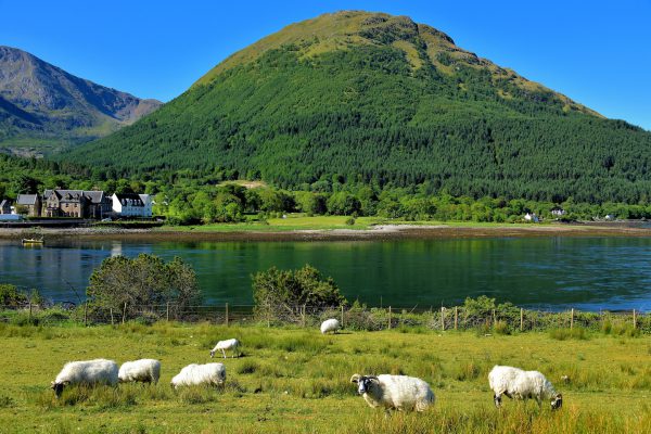
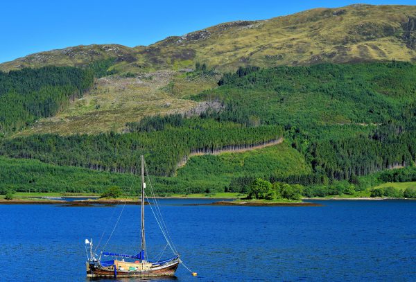
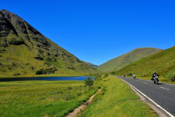
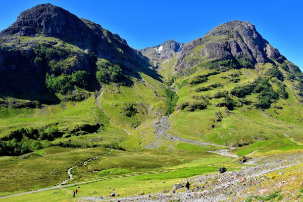
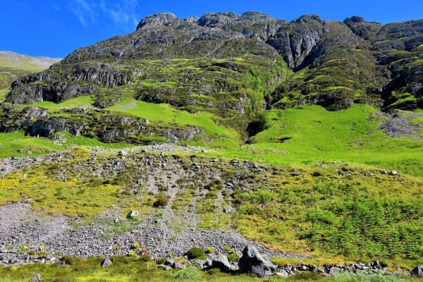
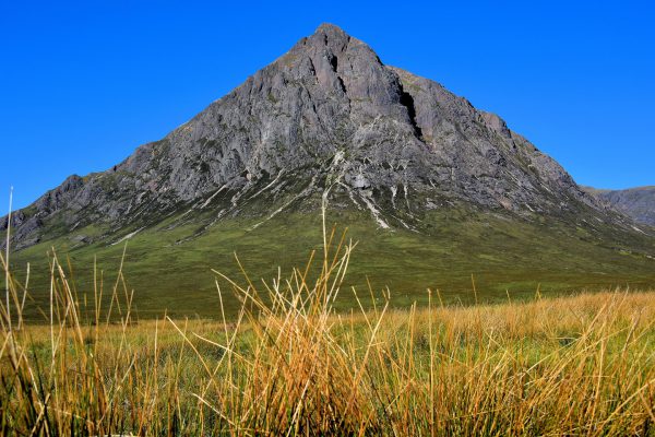
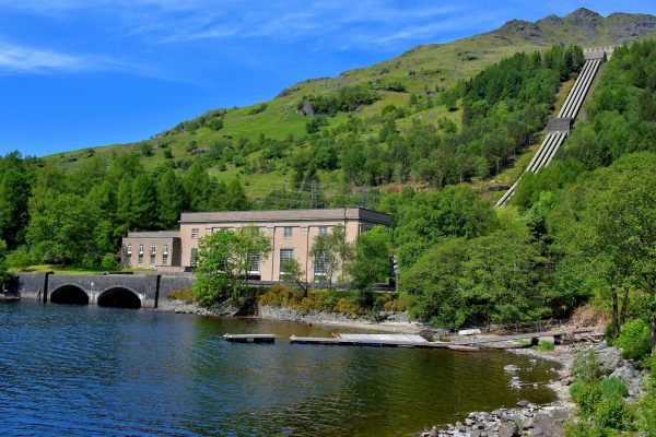
This is a pictorial road map for driving through the Scottish Highlands, some of the most stunning countryside in the United Kingdom. Along the way you will visit scotch distilleries, gorgeous lochs, romantic castles, rugged coastlines and towering mountains.

Share this
Welcome to the Scottish Highlands, Scotland - Encircle Photos

Welcome to the Scottish Highlands, Scotland

The Scottish Highlands is divided into two major areas: the Grampian Mountains and the Northwest Highlands. The first is between the Highland Boundary Fault and the Great Glen Fault. The second stretches to the western coastline. You are now embarking on a pictorial tour of this beautiful region of Scotland. Fàilte! (Gaelic for Welcome).

Enlarge/Slideshow
Introduction to Malt Whiskey Trail in Scottish Highlands, Scotland - Encircle Photos

1 Introduction to Malt Whiskey Trail in Scottish Highlands, Scotland

Fans of scotch will thoroughly enjoy driving along the Malt Whiskey Trail in Strathspey. There are approximately 40 distilleries in this region located along Caingorms National Park and following the River Spey. The trail is a marketing association featuring eight distilleries available to tour. All of them produce single malt whiskey. By law, this means they are produced from malted barley and are aged a minimum of three years in oak casks. This is the entrance to Glenfiddich.

B975 Dufftown, Keith AB55 4GH, UK
Enlarge/Slideshow See On Map Directions
Glenfiddich Distillery on Malt Whiskey Trail in Scottish Highlands, Scotland - Encircle Photos

2 Glenfiddich Distillery on Malt Whiskey Trail in Scottish Highlands, Scotland

Glenfiddich was founded near Dufftown in 1886 by William Grant and is still managed by his descendants. The name is Gaelic for Valley of the Deer. As you approach their visitor’s center, you are greeted with the sweet smell of malt. The world’s number one producer of single malt scotch markets eight versions ranging in age from twelve to fifty years. The best part of the tour is tasting some of them.

B975 Dufftown, Keith AB55 4GH, UK
Enlarge/Slideshow See On Map Directions
Glenlivet Distillery on Malt Whiskey Trail in Scottish Highlands, Scotland - Encircle Photos

3 Glenlivet Distillery on Malt Whiskey Trail in Scottish Highlands, Scotland

A crude version of scotch began in Scotland towards the end of the 15th century. After Parliament passed a law regulating its production, George Smith was the first to acquire a license. He then established the Glenlivet Distillery in 1824, named after the town where it was founded. Since then, it has grown into the world’s second largest producer of single malt Scotch whiskey. These barrels are their sign as you approach the distillery.

4 Castleton of Blairfindy Glenlivet, Ballindalloch AB37 9DF, UK
Enlarge/Slideshow See On Map Directions
Tormore Distillery on Malt Whiskey Trail in Scottish Highlands, Scotland - Encircle Photos

4 Tormore Distillery on Malt Whiskey Trail in Scottish Highlands, Scotland

Established in 1958, the Tormore Distillery is one of the youngest producers of Spreyside single malt Scotch whiskey. Its main building, designed by architect Alexander Cullen, is visually striking and accented by a manicured garden. It is owned by Pernod Ricard, a French company and major marketer of distilled beverages. The holding company also manages the nearby Glenlivet Distillery plus other brands such as Chivas Regal, Jameson Irish Whiskey and Seagram.

4 Richardson Rd, Advie, Grantown-on-Spey PH26 3LR, UK
Enlarge/Slideshow See On Map Directions
River Spey in Scottish Highlands, Scotland - Encircle Photos

5 River Spey in Scottish Highlands, Scotland

While driving south along A95 from the Moray area, the first town you reach within the Highland Council Area, better known as the Scottish Highlands, is Grantown on Spey. As its name suggests, it is located along the River Spey. This river is a source of water for several scotch distilleries. It is equally loved by fishermen for its abundance of trout and Atlantic Salmon.

Kylintra Mill, Grantown-on-Spey PH26 3NS, UK
Enlarge/Slideshow See On Map Directions
Common Tern on River Spey in Scottish Highlands, Scotland - Encircle Photos

6 Common Tern on River Spey in Scottish Highlands, Scotland

The River Spey flows south to north from its origin at Loch Spey into the Moray Firth, an inlet of the North Sea. Much of its valley was formed by glaciers about 2.5 million years ago. Its fast moving waters is home to four endangered species: the sea lamprey, the freshwater pearl mussel, Atlantic salmon and the otter, known in Gaelic as the dobhran or beaste dubh (black beast). It also provided lunch for this diving common tern.

Kylintra Mill, Grantown-on-Spey PH26 3NS, UK
Enlarge/Slideshow See On Map Directions
Legends of Loch Ness in Scottish Highlands, Scotland - Encircle Photos

7 Legends of Loch Ness in Scottish Highlands, Scotland

The first sighting of a sea monster in Loch Ness was reported by Alex Campbell in 1933, followed by a similar report from George Spicer. A few months later, Hugh Gray produced a grainy photo of the beast. Soon myths emerged of its existence dating back to the 7th century. Since then, there have been countless sightings, explorations, photographs, articles and documentaries. Although “Nessie” remains elusive, the legend continues to be a major boom for tourism.

A82, Inverness IV3, UK
Enlarge/Slideshow See On Map Directions
Description of Loch Ness in Scottish Highlands, Scotland - Encircle Photos

8 Description of Loch Ness in Scottish Highlands, Scotland

Loch Ness is Scotland’s second largest lake but the most famous. Located just south of Inverness, it stretches for almost 23 miles along the Great Glen Fault dividing the Grampian Mountains from the Northwest Highlands. There are plenty of rocks along the shoreline left behind by a glacier from millions of years ago. The retreating ice and fault created a lake with a maximum depth of 775 feet.

Parking Loch Ness, Inverness IV3 8LA, UK
Enlarge/Slideshow See On Map Directions
Tours on Loch Ness in Scottish Highlands, Scotland - Encircle Photos

9 Tours on Loch Ness in Scottish Highlands, Scotland

Visiting Loch Ness is a wonderful daytrip from Inverness. Guided coach tours are available around the lake including a stop at the Urquhart Castle. Better yet, consider booking a cruise ranging from one to three hours along the Caledonian Canal and the lake. Bring your camera. The scenery is gorgeous. You might also be lucky enough to capture an image of Nessie.

Parking Loch Ness, A82, Inverness IV63 6XR, UK
Enlarge/Slideshow See On Map Directions
Distant View of Urquhart Castle on Loch Ness in Scottish Highlands, Scotland - Encircle Photos

10 Distant View of Urquhart Castle on Loch Ness in Scottish Highlands, Scotland

Just before reaching the town of Drumnadrochit while driving along A82, you are given a fabulous view of Urquhart Castle sitting on a jetty of land reaching out into Loch Ness. This silhouette of the majestic fortress on Strone Point looks like a scene from a romance novel set in medieval times.

1851 A82 Inverness IV63 6XR, UK
Enlarge/Slideshow See On Map Directions
Exhibition Centre at Loch Ness in Scottish Highlands, Scotland - Encircle Photos

11 Exhibition Centre at Loch Ness in Scottish Highlands, Scotland

The Loch Ness Centre and Exhibition Experience near Drumnadrochit is the official welcoming attraction for all tourists visiting Scotland’s famous lake. It has exhibits and a multi-media presentation explaining the geological formation of the area plus tells the stories of its illusive resident: the Loch Ness Monster. Of course there is also a large gift shop with an obvious focus on Nessie souvenirs.

Drumnadrochit, Inverness IV63 6TU, UK
Enlarge/Slideshow See On Map Directions
Drumnadrochit on Loch Ness in Scottish Highlands, Scotland - Encircle Photos

12 Drumnadrochit on Loch Ness in Scottish Highlands, Scotland

The small town of Drumnadrochit, located along the western shores of Loch Ness, has less than 1,000 residents. The surrounding countryside is stunning. Modest houses dot the hillsides consisting of farms and woodlots.

A82 Drumnadrochit, Inverness IV63, UK
Enlarge/Slideshow See On Map Directions
Yellow Gorse Framing Loch Ness in Scottish Highlands, Scotland - Encircle Photos

13 Yellow Gorse Framing Loch Ness in Scottish Highlands, Scotland

The dominate colors of the Scottish Highlands in spring is green with dashes of yellow. No, not from the sun but from gorse. This prickly shrub seen here framing Loch Ness grows wild in patches along roads and hillsides. A Fabaceae cousin to the common gorse is broom. The latter has similar, bright yellow flowers yet a smooth stem. To a tourist’s eye, both plants add a delightful accent to the countryside. To residents, they are an invasive weed.

Urquhart Bay, 5, Strone, Drumnadrochit IV63 6XL, United Kingdom
Enlarge/Slideshow See On Map Directions
Urquhart Castle Overlooking Loch Ness in Scottish Highlands, Scotland - Encircle Photos

14 Urquhart Castle Overlooking Loch Ness in Scottish Highlands, Scotland

This view of Urquhart Castle overlooking Loch Ness makes it easy to see why this site was selected to build a citadel during the 6th century. In 1233, Alan Durward was granted the land by Alexander III, King of the Scots. He was the first to begin building the current Urquhart Castle. The fortress was the scene of several expansions, battles and owners until it was purposefully destroyed in 1692 by William of Orange’s army to prevent it from being used during the Jacobite risings (1689 – 1759).

A82 Inverness IV63 6XL, UK
Enlarge/Slideshow See On Map Directions
Grant Tower at Urquhart Castle at Loch Ness in Scottish Highlands, Scotland - Encircle Photos

15 Grant Tower at Urquhart Castle at Loch Ness in Scottish Highlands, Scotland

The centerpiece of the Urquhart Castle is the Grant Tower. This five-level, 40 foot stone keep was named after John Grant. In 1509, James IV of Scotland gave Grant a lifetime lease on the property in return for repairing and maintaining it. The ruins are a major tourist attraction. After crossing over the bridge, you can walk around the 14th century walls enclosing the Nether Bailey (courtyard), climb the tower and explore the foundations of its past buildings and rooms.

A82 Inverness IV63 6XL, UK
Enlarge/Slideshow See On Map Directions
Torgoyle Bridge in Glenmoriston in Scottish Highlands, Scotland - Encircle Photos

16 Torgoyle Bridge in Glenmoriston in Scottish Highlands, Scotland

A887 starts at the small town of Invermoriston on the banks of Loch Ness and heads west into the Northwest Highlands. It travels through the valley named Glenmoriston and parallel to the River Moriston before crossing the flowing water near Drundreggan. The Torgoyle Bridge was first built by Thomas Telford in 1811. After being destroyed during a flood in 1818, the three-span stone bridge was replaced in 1823 based on a design by Joseph Mitchell.

Tomchraskey Rd End Inverness IV63 7YJ, United Kingdom
Enlarge/Slideshow See On Map Directions
Forest in Glenmoriston in Scottish Highlands, Scotland - Encircle Photos

17 Forest in Glenmoriston in Scottish Highlands, Scotland

There are 10,000 acres of forest at the former Dundreggan Estate purchased in 2008 by Trees for Life. Their mission is to preserve the native trees while annually planting 30,000 new ones. This enhances the natural habitat for wildlife. The Glenmoriston valley is also famous as the escape route for Bonnie Prince Charlie from the English troops in 1746 at the end of the Jacobite rising. This is the River Moriston. Its name in Gaelic means “River to the Waterfalls.”

Tomchraskey Rd End Inverness IV63 7YJ, United Kingdom
Enlarge/Slideshow See On Map Directions
Loch Cluanie Dam in Scottish Highlands, Scotland - Encircle Photos

18 Loch Cluanie Dam in Scottish Highlands, Scotland

Near the junction where A887 merges into A87 is the Loch Cluanie Dam. It stretches an impressive 2,214 feet. Built in 1957, this section of the Glenmoriston project is part of an elaborate network of hydro-electric schemes in the Highlands. Together with nuclear and oil power plants plus wind power, Scotland has become a net exporter of electricity.

A87 & A887, Inverness IV63 7YW, UK
Enlarge/Slideshow See On Map Directions
Loch Cluanie Reservoir in Scottish Highlands, Scotland - Encircle Photos

19 Loch Cluanie Reservoir in Scottish Highlands, Scotland

The Loch Cluanie is a water reservoir formed and regulated by the Loch Cluanie Dam. The beautiful lake is best seen while driving on A87. This road through the Glen Shiel also provides spectacular views of the Five Sisters of Kintail. They form an almost continuous ridge for 9.5 miles. Three of the five summits are over 3,000 feet in height, qualifying each of them as a “munro.” This mountain range is popular among hikers.

A87 & A887, Inverness IV63 7YW, UK
Enlarge/Slideshow See On Map Directions
Glen Shiel Bridge in Scottish Highlands, Scotland - Encircle Photos

20 Glen Shiel Bridge in Scottish Highlands, Scotland

This charming, stone-arched bridge was built over the River Shiel in 1815 by architect Thomas Telford. About 100 years before, this was the site of the Battle of Glen Shiel. On June 10, 1719, British troops clashed with Jacobites. They were rebels who wanted to restore King James II and VII to the throne of England, Ireland and Scotland. The three-hour skirmish resulted in a crushing defeat of the Jacobites and their Spanish allies.

Eas-Nan-Arm Bridge River Shiel, Kyle IV40 8HU, UK
Enlarge/Slideshow See On Map Directions
Beached Tugboat on Loch Duich in Scottish Highlands, Scotland - Encircle Photos

21 Beached Tugboat on Loch Duich in Scottish Highlands, Scotland

Loch Duich is located in the Skye and Lochalsh Divisional Area within the West Highlands. As an inlet to the sea, it experiences high and low tides twice a day. It is common to see watercraft like this tugboat anchored to shore and apparently beached during low tide. Although it looks shallow, this lake reaches a depth of 377 feet. In the background is the Kintail Lodge Hotel, named after the surrounding Five Sisters of Kintail mountains.

Glenshiel Bridge, Kyle of Lochalsh IV40 8HL, UK
Enlarge/Slideshow See On Map Directions
Eilean Donan Castle on Loch Duich in Scottish Highlands, Scotland - Encircle Photos

22 Eilean Donan Castle on Loch Duich in Scottish Highlands, Scotland

The Eilean Donan Castle is located on a small island at the juncture of three lochs: Duich, Long and Aish. Its namesake is Saint Donnán of Eigg, a 7th century Irish priest. The first fortification was built here during the early 13th century by the Scottish nobles called Lord of the Isles. Late in the 1200s, it was owned by Clan Mackenzie. The Mackenzies expanded the fort and maintained control for centuries despite several battles among neighboring clans. The castle met its fate during the Jacobite rising of 1719. After three ships from the Royal Navy bombarded the castle from sea, they completely destroyed the Eilean Donan using 27 barrels of gunpowder. It was rebuilt during the early 20th century.

A87 Kyle IV40, UK
Enlarge/Slideshow See On Map Directions
Eilean Donan Castle Profile on Loch Duich in Scottish Highlands, Scotland - Encircle Photos

23 Eilean Donan Castle Profile on Loch Duich in Scottish Highlands, Scotland

The 13th century Eilean Donan Castle lay in ruins for 200 years, from 1719 until 1919, when John MacRae-Gilstrap began building his vision of the Clan Mackenzie castle. When it was finished in 1932, historians claimed it bore little resemblance to the original. However, as a romanticized version of a medieval castle, Eilean Donan has become a major tourist destination in the Scottish Highlands. It sits on an island within Loch Duich and is accessible by a stone bridge.

A87 Kyle IV40, UK
Enlarge/Slideshow See On Map Directions
Isle of Skye Seen From Loch Alsh in Scottish Highlands, Scotland - Encircle Photos

24 Isle of Skye Seen From Loch Alsh in Scottish Highlands, Scotland

Loch Alsh is a sea inlet in the Northwest Highlands. The waterway stretches for about 7.5 miles along A87 from the Eilean Donan Castle to where it flows into the Inner Sound near the town of Kyle of Lochalsh. This photo looks back towards the Kintail Hills (Five Sisters) and where the lake connects with Loch Duich. It also shows the mouth of the Kyle Rhea. This strait forms part of the eastern coastline of the Island of Skye.

Loch Alsh Viewpoint A87, Inverness IV63 7YW, UK
Enlarge/Slideshow See On Map Directions
Skye Bridge at Loch Alsh in Scottish Highlands, Scotland - Encircle Photos

25 Skye Bridge at Loch Alsh in Scottish Highlands, Scotland

Until 1995, the only way to reach the Isle of Skye (on the left) from mainland Scotland at Kyle of Lochaish (on the right) was by a ferry taken from the terminal (the pier pointing towards the three islets). Now traffic along A87 takes the Skye Bridge over Loch Alsh to the Eilean Bán island before making a second crossing to Skye. In the background is the Sqùrr na Coinnich. This mountain has the highest elevation on Skye’s Sleat peninsula of 2,425 feet.

Loch Alsh Viewpoint A87, Inverness IV63 7YW, UK
Enlarge/Slideshow See On Map Directions
Walkways to View Loch Alsh in Scottish Highlands, Scotland - Encircle Photos

26 Walkways to View Loch Alsh in Scottish Highlands, Scotland

Most tourists speed past Kyle of Lochalsh on their mission to reach the Isle of Skye. In their haste, they miss out on a very scenic, two-mile walk called Plock of Kyle. This 100 acre park is seen in the background. These women were stretching their legs along a roadside path leading up to the Skye Bridge. If you have extra time, visit the 70 foot Stevenson Lighthouse and the Gavin Maxwell Museum, the former home of the author and naturalist. Both are on the six acre Eilean Bán islet.

A87 Eilean Bàn United Kingdom
Enlarge/Slideshow See On Map Directions
Sound of Sleat on Skye in Scottish Highlands, Scotland - Encircle Photos

27 Sound of Sleat on Skye in Scottish Highlands, Scotland

The Isle of Skye is a gem of the Scottish Highlands and frequently named among the best islands in the world. Only 10,000 people populate its 639 square miles shaped by rugged coastlines and beautiful bays. An example is this picturesque view of the Sound of Sleat forming the island’s southeastern shores. In the background is the Knoydart Peninsula on the Scottish mainland. Often called “Britain’s last wilderness,” much of it is reachable only by boat. The summit is Ladhar Bheinn. This mountain peaks at 3,280 feet.

A851, Isleornsay, Isle of Skye IV43 8QW, UK
Enlarge/Slideshow See On Map Directions
Talla Duisdale Theatre in Scottish Highlands, Scotland - Encircle Photos

28 Talla Duisdale Theatre in Scottish Highlands, Scotland

St Columba Church was built in 1901 facing the Sound of Sleat. Its namesake was Saint Columba, an Irish missionary, who landed here in 585 AD to preach the Christian faith. The Talla Dhuisdeil missionary church closed in the 1970s. In 2017, the property was converted into a performance venue. Talla Duisdale (meaning misty glen) shows live broadcasts of opera and ballet from the Royal Opera House plus National Theatre productions.

Talla Duisdale, Skye, East Kilbride, Glasgow G74 2BX, UK
Enlarge/Slideshow See On Map Directions
Clan Donald Skye on Skye in Scottish Highlands, Scotland - Encircle Photos

29 Clan Donald Skye on Skye in Scottish Highlands, Scotland

The Clan Donald were an influential family in the Scottish Highlands. Their heritage dates back to the mid-13th century. They held the title of “Lord of the Isles” until 1495. The former 20,000 acre estate of the McDonalds was abandoned in 1925 and is now the Clan Donald Skye near Armadale. This tourist attraction features gardens, walking paths, the Armadale Castle, a museum and this restaurant and café in the old stables.

Clan Donald Skye Visitor Centre, A851 Armadale IV45 8RS, UK
Enlarge/Slideshow See On Map Directions
Armadale Bay on Skye in Scottish Highlands, Scotland - Encircle Photos

30 Armadale Bay on Skye in Scottish Highlands, Scotland

Armadale Bay adjacent to the ferry terminal provides a scenic view while waiting in your car. Watch as the anchored sailboats bob up and down with each passing wave. Nearby is the home of Isle of Skye Yachts. If you have lots more time, consider chartering one of their nine vessels for a week tour of western Scotland’s coastline and islands.

Armadale Ferry Terminal, Isle of Skye IV45 8RQ, United Kingdom
Enlarge/Slideshow See On Map Directions
Car Ferry on Skye in Scottish Highlands, Scotland - Encircle Photos

31 Car Ferry on Skye in Scottish Highlands, Scotland

Except for the Skye Bridge, transportation from the Sleat Peninsula in Skye to the neighboring islands or the mainland is by boat or ferry. It is a 30 minute, scenic ride from Armadale, across the Sound of Sleat to the town of Mallaig. Service is provided by Caledonian MacBrayne, a ferry company established in 1851. CalMac has 29 vessels in their fleet.

Armadale Ferry Terminal, Isle of Skye IV45 8RQ, United Kingdom
Enlarge/Slideshow See On Map Directions
Road to the Isles in Scottish Highlands, Scotland - Encircle Photos

32 Road to the Isles in Scottish Highlands, Scotland

It is about 43 miles from Mallaig to Fort William, a good town to spend the night. During your one-hour drive on A830, nicknamed the Road to the Isles, you will be visually treated to six lochs, white beaches, remote islets, historical markers plus streams nestled among the mountains and hills. This view near the village of Glenfinnan is typical of the gorgeous scenery. No wonder it is considered one of the best drives in Scotland.

A830 Blythswood Cottage Glenfinnan PH37 4LS, UK
Enlarge/Slideshow See On Map Directions
Sheep along Loch Leven at Ballachulish in Scottish Highlands, Scotland - Encircle Photos

33 Sheep along Loch Leven at Ballachulish in Scottish Highlands, Scotland

The last leg of your driving tour through the Scottish Highlands is from Fort Williams to Glasgow. You will follow scenic A82 for about 110 miles. Initially, the road runs south, parallel to Loch Linnhe and the Great Glen Fault, until you reach this delightful view at the base of the Glencoe Mountain. These blackface sheep are grazing along the Old Ferry Road beneath the Ballachulish Bridge. Since 1975, its steel truss frame has crossed over Loch Leven, connecting the villages of North and South Ballachulish. There are about 6.5 million sheep in Scotland or 1.3 million more than people.

A82 & Old Ferry Rd Fort William PH33 6SB, UK
Enlarge/Slideshow See On Map Directions
Loch Leven at Glencoe in Scottish Highlands, Scotland - Encircle Photos

34 Loch Leven at Glencoe in Scottish Highlands, Scotland

A82 now heads east towards Glencoe. This small village is named after the Glen Coe valley and the surrounding mountains. Take a moment to savor the views of Loch Leven and the tree-covered hills. If this town sounds familiar, you are probably an avid fan of James Bond. According to the book, “You Only Live Twice,” this is where his father Andrew was born.

A82 Ballachulish PH49 4HN, UK
Enlarge/Slideshow See On Map Directions
Motorcyclists Driving in Glen Coe in Scottish Highlands, Scotland - Encircle Photos

35 Motorcyclists Driving in Glen Coe in Scottish Highlands, Scotland

These motorcyclists are passing through a picturesque, 12 mile drive in a valley called Glen Coe. The land is managed by the National Trust for Scotland. This conservation group owns over 125 properties of historic interest plus about 187,000 acres of scenic coastline and countryside. This National Scenic Area is one of 40 in Scotland designated for its outstanding natural beauty.

A82 Ballachulish PH49 4HX, UK
Enlarge/Slideshow See On Map Directions
Three Sisters in Glen Coe in Scottish Highlands, Scotland - Encircle Photos

36 Three Sisters in Glen Coe in Scottish Highlands, Scotland

The Bidean nam Bian in Glen Coe is a stunning geological display. This mountain and valley were formed over a period of 450 million years by clashes of continental plates, eight volcanoes and huge glaciers. Its peaks are called the Three Sisters. On the right is Aonach Dubh or Black Ridge. On the left is Gearr Aonach, also called the Short Ridge. Next to it (off camera) is the third sister, Beinn Fhada. The snowcapped ridge in the middle is Stob Coire nan Lochan. It has an elevation of 3,658 feet. You will want to stop at the car park along A82 to savor this view or to begin hiking along the trails.

Three Sisters Car Park, A82, Ballachulish PH49 4HX, UK
Enlarge/Slideshow See On Map Directions
Aonach Eagach in Glen Coe in Scottish Highlands, Scotland - Encircle Photos

37 Aonach Eagach in Glen Coe in Scottish Highlands, Scotland

This ridgeline is part of a 6.2 mile mountain range in Glen Coe called Aonach Eagach. Its beauty is often overlooked in favor of the Three Sisters it faces on the south side of A82. However, its 3,127 foot summit is considered a major challenge to experienced scramblers (climbers).

Three Sisters Car Park, A82, Ballachulish PH49 4HX, UK
Enlarge/Slideshow See On Map Directions
Stob Dearg in Glen Coe in Scottish Highlands, Scotland - Encircle Photos

38 Stob Dearg in Glen Coe in Scottish Highlands, Scotland

Bauachaille Etive Mòr is a five-mile mountain range. The tallest of its four summits is this 3,353 foot, triangular shaped Stob Dearg. Nicknamed “The great herdsman of Etive,” this northeastern face is popular among climbers and hikers. This scenery and the flowing River Etive can be enjoyed from your car window along A82. If you are not traveling to Scotland soon, then just watch the 2012 James Bond movie “Skyfall.” This scene is where Bond brings M to his Skyfall family estate.

Old Military Rd & W Highland Way, Ballachulish PH49 4HY, UK
Enlarge/Slideshow See On Map Directions
Sloy Power Station along Loch Lomond in Scottish Highlands, Scotland - Encircle Photos

39 Sloy Power Station along Loch Lomond in Scottish Highlands, Scotland

The Loch Sloy Hyrdro-electric Power Station along Loch Lomond is an impressive piece of engineering. At the top of the hill is the Loch Sloy Dam holding back 9.5 million gallons of water. When emergency electricity is required, the floodgates are opened, sending water down the steel pipes to power the generators. The station opened in 1950 based on the design of James Williamson. It remains the U.K.’s largest hydroelectric plant.

Inveruglas Farm, Arrochar G83 7DP, UK
Enlarge/Slideshow See On Map Directions
Tourist Cruise on Loch Lomond in Scottish Highlands, Scotland - Encircle Photos

40 Tourist Cruise on Loch Lomond in Scottish Highlands, Scotland

This double-decker, sightseeing ship is showing tourists the beauty of Loch Lomond. This 269 square mile loch, Scotland’s largest, was immortalized in the famous 1841 song “The Bonnie Banks o’ Loch Lomond.” As the boat passes by Inveruglas Isle, the tour guide explains how it contains the ruins of the Clan MacFarlane castle. The citadel was destroyed circa 1654 by Oliver Cromwell’s soldiers.

Inveruglas Farm, Arrochar G83 7DP, UK
Enlarge/Slideshow See On Map Directions
TOP