Saint Kitts

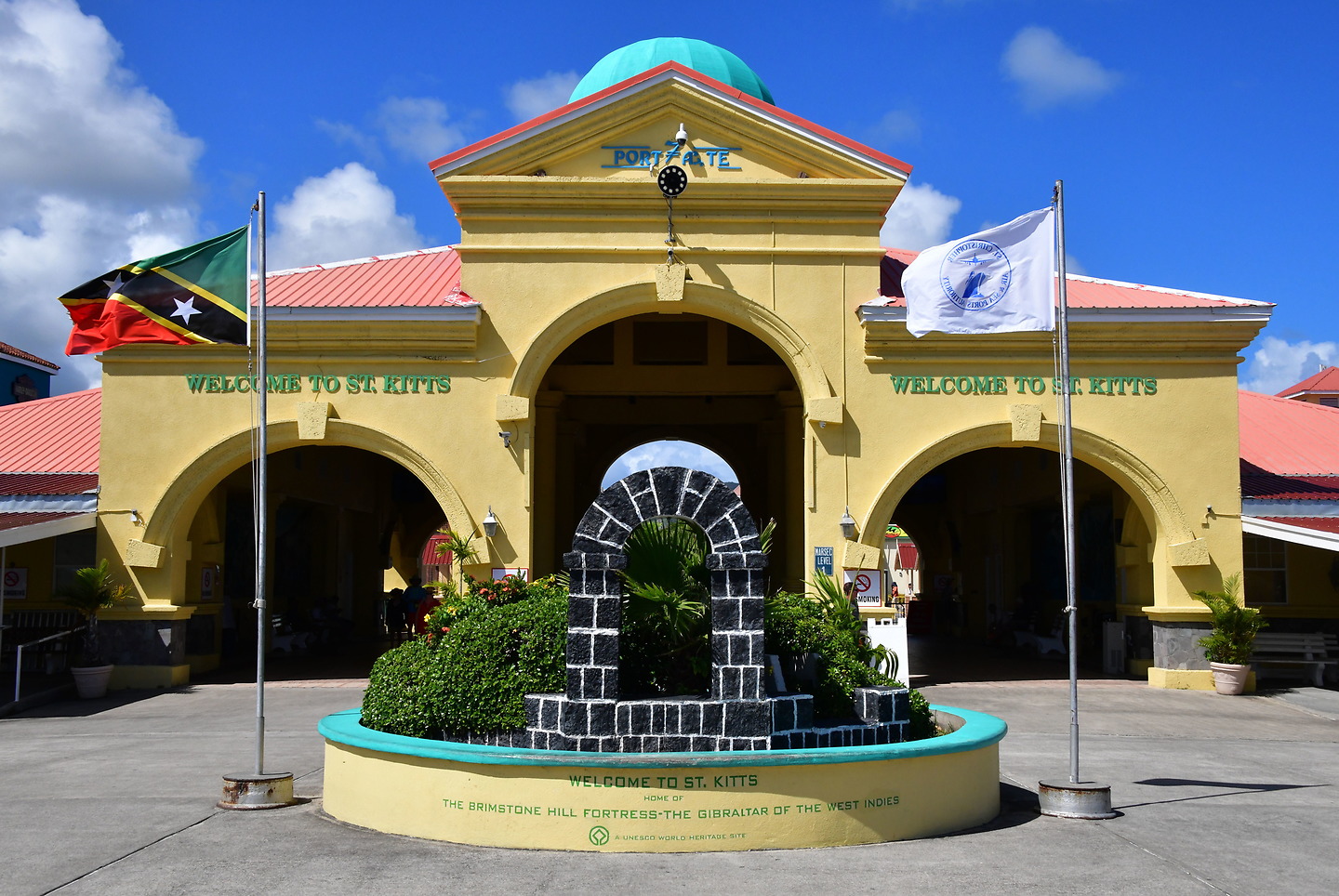
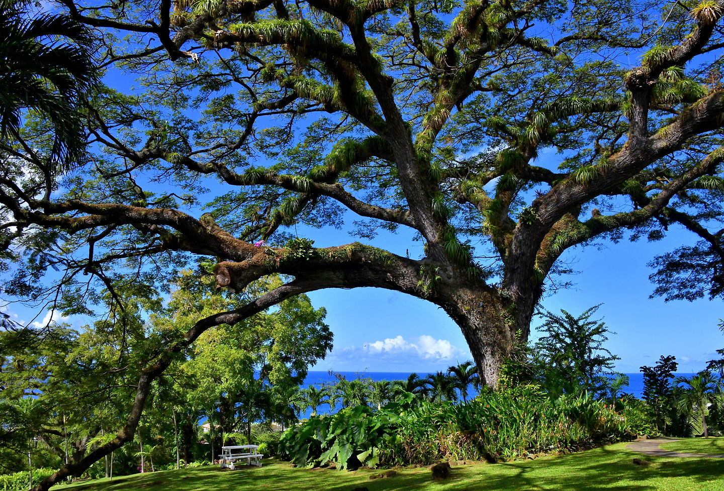
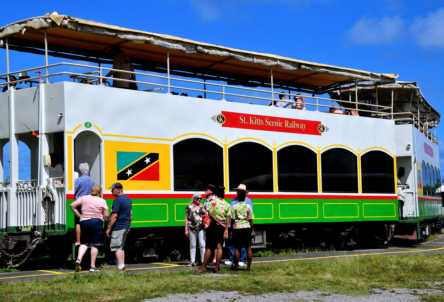
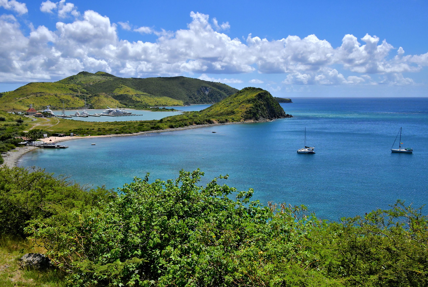
Saint Kitts is part of the smallest sovereign state in the Western Hemisphere. The tropical island offers gorgeous coasts along the Atlantic Ocean and Caribbean Sea, historic sites, open-air shopping and sun-kissed beaches. Whether you visit Saint Kitts for the day or a week, it is bound to become one of your favorite getaways in the Caribbean.

Share this

1 Your Turn to Discover Saint Kitts

Saint Kitts is a very popular Caribbean destination among the Leeward Islands of the West Indies. Some archeologists suggest people have found it attractive for nearly 5,000 years. In 1493, Christopher Columbus sighted the island during his second voyage to the New World. He was so smitten he called it Saint Christopher Island. Now is your turn to discover the beauty and charm of Saint Kitts. Your starting point is the capital city of Basseterre.

Port Zante, Basseterre, St. Kitts & Nevis

2 Cruise Terminal Welcome Gate in Basseterre, Saint Kitts

If you are among the 1.5 million cruise ship passengers who annually visit Saint Kitts, your ship will probably dock at Port Zante. After disembarking, you will walk through this welcome gate. From here, you can explore the historic section of Basseterre. Or arrange for a shore excursion, hire a guide or enter a taxi to visit a long list of fascinating heritage sites. Another option is to spend the day on a tropical beach at the south end. Add some rum to your sunshine. The local brands are Brinley’s Gold Shipwreck and Belmont Estate. This printable travel guide with an interactive map shows the tourist highlights encircling the island. The circumference of Saint Kitts is about 68 miles. So, you can cover a lot in one day.

Port Zante, Basseterre, St. Kitts & Nevis

3 Retailers at Port Zante in Basseterre, Saint Kitts

All ports of calls offer some shopping alternatives. Experienced cruisers will agree the 50 plus retail options at Port Zante are among the best in the Caribbean. They are clustered together in a delightful outdoor mall. They include plenty of duty-free, clothes, souvenir and specialty shops. Restaurants and bars too. The spacious, open-air ambiance is also a great place to stretch your sea legs or people watch. Be advised: retail and hospitality options are limited once you enter the city.

Port Zante, Basseterre, St. Kitts & Nevis

4 National Museum in Basseterre, Saint Kitts

The former Treasury Building was constructed from volcanic rock and Barbados limestone circa 1900. The arch was called the Gateway to the Island because it was the entry to the capital city from the old port. Above the pediment is a beacon that acted as a lighthouse for nearly a century. The heritage building is now home to the St. Christopher National Trust. The institution manages the National Museum. This is an archive of the country’s history and culture dating back to the Indigenous people who lived on the islands before the first European settlers. The exhibits are fascinating to visit.

National Museum, Bay Rd, Basseterre, St. Kitts & Nevis

5 Berkeley Memorial in Basseterre, Saint Kitts

In the center of a roundabout known as The Circus is Berkeley Memorial. The four-faced clock tower and water fountain was created in Glasgow, Scotland and erected in 1883. The namesake is Thomas B.H. Berkeley. He was the former president of the General Legislative Council and the wealthy owner of several plantations on the island until his death in 1881.

Berkeley Memorial, The Circus, Basseterre, St. Kitts & Nevis

6 Fountain at Independence Square in Basseterre, Saint Kitts

Independence Square is near the center of historic Basseterre. Originally called Pall Mall Square, the greenspace shaped like a Union Jack dates back to the mid-18th century. Before the end of the century, several government buildings were added around the square. It also became a place for slaves to socialize plus market their produce and crafts. This charming fountain was added in 1857. Although decorative, the primary purpose was to supply fresh water for the townspeople. The water was piped in from Olivees Mountain. On top of the basin are three maidens and a boy holding a fish.

Independence Square, Basseterre, St. Kitts & Nevis

7 Immaculate Conception Co-Cathedral in Basseterre, Saint Kitts

Flanking the east side of Independence Square is Immaculate Conception Co-Cathedral. The cathedral is a testament to the endurance of Catholics on the island. When the French arrived in the early 17th century, Jesuits constructed Notre Dame church. In 1713, after France ceded Saint Kitts to the British in the Treaty of Utrecht, the English were quick to outlaw Catholicism. Worship went underground until 1829 when religious tolerance improved. The first Catholic church of this era was constructed in 1856. This replacement opened in 1928. Immaculate Conception is a co-cathedral of the Diocese of Saint John’s–Basseterre. St. John’s is in Antigua.

East Independence Square, Basseterre, St. Kitts & Nevis

8 The War Memorial in Basseterre, Saint Kitts

The island’s first War Memorial was erected in 1926 to honor 20 soldiers from Saint Kitts and Nevis who died during World War I. The original tribute was replaced with an obelisk in 1955. Princess Margaret, the only sibling of Queen Elizabeth II, presided over the unveiling. The Cenotaph also recognizes the sacrifices from World War II made by six servicemen from the sister islands plus the British overseas territory of Anguilla. During the annual Veteran’s Day commemoration, wreaths are laid on the three graves at the base of the memorial.

Honsford Rd & Fort Thomas Rd, Basseterre, St. Kitts & Nevis

9 Government House in Basseterre, Saint Kitts

The first English and French settlers arrived in the early 17th century. Control then ping-ponged among nations with different government configurations until 1983. That is when Saint Kitts & Nevis (a neighboring island) became an independent country. The Federation of Saint Christopher and Nevis is the smallest sovereign state in the Western Hemisphere. The head of state is the U.K. monarch. The highest office is the Governor-General, who lives at the Government House. Also called the Springfield House, the residence was built in 1834.

Government House, Church Street, Basseterre, St. Kitts & Nevis

10 Cattle Egrets in Acacia Tree in Brumaire, Saint Kitts

Saint Kitts has about 120 species of trees. The varieties vary across the island based on soil types, proximity to the sea and wind plus a multitude of micro-climates. This is an acacia (Acacia farnesiana). The tree thrives on dry, rocky hills. The colloquial name of needle bush explains why this evergreen hosts a flock of cattle egrets. The branches are lined with long, thin and sharp thorns. They provide the colonies of nesting birds with protection from predators.

Cayon St, Brumaire, St. Kitts & Nevis

11 Scenic Coastline in Challengers, Saint Kitts

Your driving tour of Saint Kitts begins by heading west out of Basseterre. There is predominately one road encircling the 18 mile long island. You can’t get lost. As you leave the capital city, the terrain transforms into a winding coastal drive characterized by steep cliffs plunging into serrated coves. This tranquil scene is Palmetto Bay in the village of Challengers.

Challengers, St. Kitts & Nevis

12 Village of Challengers, Saint Kitts

Saint Kitts is divided into nine parishes. Each parish contains several villages. Most are small, consisting of a cluster of modest homes overlooking the sea. You would not know when you are transitioning from one community to the other if not for frequent road signs. They often convey a factoid about the village. This is Challengers in the Trinity Palmetto Point Parish. The land, once owned by John Challenger, was gifted to African slaves upon their emancipation. It became the island’s first Free Village in 1841.

Challengers, St. Kitts & Nevis

13 Bloody River in Challengers, Saint Kitts

The Kalinagos were a prominent group of Pre-Columbian Indigenous people living in the Lesser Antilles. Their alternative name of Caribs inspired the word Caribbean. A tribe of these people discovered today’s Saint Kitts sometime between 1300 and 1600. They called it Liamuiga (fertile island). When English and then French settlers arrived in 1623 and 1625 respectively, relations with the Kalinagos quickly became volatile. It reached a violent flashpoint in 1626. The Europeans massacred over 2,000 Caribs during the two-day Kalinago Genocide. Ancestral stories claim blood flowed for days through this channel, now called the Bloody River. This slaughter ended the Kalinago occupation of the island.

Bloody River, Challengers, St. Kitts & Nevis

14 Old Road Bay from Challengers, Saint Kitts

As you drive from Trinity Parish into Saint Thomas Middle Island Parish, you will be treated to the rugged coastline of Old Road Bay. Somewhere along here, the first English settlers arrived aboard the Marmaduke in 1623. Much of this western shoreline has black sand and rocks created by the eruption of Mount Liamuiga from about 1,800 years ago. A small portion of the 3,792 foot stratovolcano is seen on the right. The mount on the left is the Brimstone Hill Fortress National Park.

Challengers, St. Kitts & Nevis

15 Carib Petroglyphs in Old Road Town, Saint Kitts

The island was inhabited by the Kalinagos – also called Caribs – prior to 1623 when the first Europeans landed at today’s Old Road Town. Most of these Indigenous people were either killed or forced to flee by the earliest English and French settlers. There is scant evidence of their presence on Saint Kitts. A rare exception are these petroglyphs near Wingfield Estate. Historians believe the simplistic rock carvings represent a zemi deity. Others suggest they are fertility symbols. They have been painted white to highlight the details.

Carib Petroglyphs, Wingfield Road, Old Road Town, St. Kitts & Nevis

16 Ruins of Wingfield Estate in Old Road Town, Saint Kitts

In 1625, the first English land grant in the West Indies was given to Samuel Jefferson II in Saint Kitts. He was the great, great grandfather of U.S. president Thomas Jefferson. Samuel and his brother initially planted cotton, indigo and tobacco. After recognizing the environment was not conducive to these crops, their focus switched to sugar cane in the mid-17th century. This led to the production of rum from 1681 until 1924. You can walk among the ruins of this historic plantation. On the grounds of Wingfield Estate are the remnants of several cane processing and rum distillery buildings such as this stone chimney.

Wingfield Estate, Old Road Town, St. Kitts & Nevis

17 Saman Tree on Romney Manor in Old Road Town, Saint Kitts

Samuel Jefferson, the owner of Wingfield Estate, sold about ten acres to the Earl of Romney. This transaction gave birth to the neighboring Romney Manor. It thrived as a sugar plantation and rum distillery for generations. A highlight of the eight acre property is this 400 year old saman tree featured in the gardens. The diameter measures 24 feet. It spread across 1.5 acres. Since 1976, Romney Manor has also been home to Caribelle Batik. The company is a major producer of fine fabrics and garments that are stenciled with wax before being dyed (similar to tie dye). You can watch artisans create the batik products then purchase some for yourself.

Romney Manor, Old Road Town, St. Kitts & Nevis

18 St. Thomas Anglican Church in Middle Island, Saint Kitts

Thomas Warner was the leader of the first English settlers on Saint Kitts (and later became the island’s first governor). When they arrived in 1623, Chief Tegreman of the Caribs greeted them. The second wave of colonists included a minister. He orchestrated the construction of the first Anglican church in the West Indies in 1625. It was destroyed by a hurricane in 1772. The current St. Thomas Anglican Church was built in 1860 but heavily damaged by an earthquake in 1974. This historic church is located in the village of Middle Island in the parish of Saint Thomas Middle Island. It is worth visiting to see the grave of Thomas Warner. Also buried here is Samuel Jefferson. He was the former owner of Wingfield Estate and great, great grandfather of American president Thomas Jefferson.

Saint Thomas Anglican Church, Middle Island, St. Kitts & Nevis

19 Entrance to Citadel at Brimstone Hill Fortress in Sandy Point, Saint Kitts

Anticipation starts growing when you notice Brimstone Hill, the historical apex of Saint Kitts. The 755 foot mountain stands guard over the northwest coast. Excitement melts into trepidation as your driver cautiously navigates a switchback road, honks at every turn, squeezes through the front gate and parks in the old parade ground. Encircling you are 38 acres of Brimstone Hill Fortress National Park. This British fort was first armed in 1690, fortified for over a century and then abandoned in 1852. Brimstone Hill Fortress was once called the Gibraltar of the West Indies because it was considered impenetrable. The French proved that assumption wrong in 1782. Today, this is one of the best maintained forts in the Americas and worthy of its UNESCO World Heritage Site designation. Now walk up the ramp to reach the Western Place of Arms, cross a moat and enter the Citadel of Fort George.

Brimstone Hill Fortress, Sandy Point, St. Kitts & Nevis

20 Inside Citadel at Brimstone Hill Fortress in Sandy Point, Saint Kitts

Inside the stone chambers of the Fort George Citadel are displays and artifacts with stories about Brimstone Hill Fortress. They are fascinating! You will learn about the network of structures built on different terraces. How African slaves constructed the polygonal fort for over 100 years. When the fort was attacked by 8,000 French soldiers in 1782, they caused the British to surrender a month later. The museum also explains how the Brimstone Hill Fortress was returned to the British as part of the Treaty of Paris in 1783. It then remained an active military operation for another century. Make sure to walk along the fort’s battlement and admire the 24-pounder long guns. From this height of 972 feet, the panoramic view of the Atlantic Ocean is spectacular. In the background is the Quill, a nearly 2,000 foot dormant volcano on the Dutch island of Sint Eustatius.

Brimstone Hill Fortress, Sandy Point, St. Kitts & Nevis

21 Prince of Wales Bastion at Brimstone Hill Fortress in Sandy Point, Saint Kitts

After the British abandoned Brimstone Hill Fortress in 1853, the once formidable military complex began to decay. Many of the structures fell into ruins. Some restoration began in the early 1900s. But a strong commitment was made in 1965 to revitalize this historic treasure of Saint Kitts. Prince Charles was on hand to open the first restored building. In his honor, it was named the Prince of Wales Bastion. The former barracks and powder magazine is now a conference center. A similar royal ceremony was conducted in 1985 when Queen Elizabeth announced the formation of the Brimstone Hill National Park.

Brimstone Hill Fortress, Sandy Point, St. Kitts & Nevis

22 Lime Kiln at Brimstone Hill Fortress in Sandy Point, Saint Kitts

As your driver navigates down the road from Brimstone Hill Fortress, you may catch a glimpse of this circular lime kiln. The furnace was used for producing mortar. This material did an excellent job of binding together the limestone and basalt (volcanic) rock used to construct the fort during the 17th century.

Brimstone Hill Fortress, Sandy Point, St. Kitts & Nevis

23 St. Kitts Scenic Railway in Sandy Point, Saint Kitts

Sugar cane estates thrived on Saint Kitts from the mid-17th century until the mid-19th century. Then the crop’s economics deteriorated rapidly. In an attempt to salvage the island’s main industry, a central processing mill was built at Basseterre in 1912. The facility was called the Saint Kitts Sugar Factory. In order to efficiently transport sugar cane from the plantations, a narrow-gauge railway began operating in 1926. Although these centralized efforts were initially successful, they fell victim to continuous market decay. In a last-ditch effort, the government purchased the factory, railroad and remaining estates in 1976. Too little, too late. In 2005, the prime minister announced the end of the sugar cane industry on Saint Kitts. Today, tourists enjoy taking an 18 mile ride on the historic St. Kitts Scenic Railway along the eastern coastline. The Sugar Train features double-decker railcars. Near St. Kitts Eco-Par, passengers transfer to a bus to complete their sightseeing adventure around the island. The narrated, 30 mile tour takes about three hours.

St. Kitts Eco-Park, Sandy Point, St. Kitts & Nevis

24 Robert Bradshaw Statue in St. Paul’s, Saint Kitts

Robert Llewellyn Bradshaw was the first Premier of Saint Kitts and Nevis from 1967 until 1978. Prior to that, he was the Chief Minister. In 1996, he was designated as the country’s First National Hero by the National Assembly. In 2007, the Robert L. Bradshaw Memorial Park was created in St. Paul’s, a town of Saint Paul Capisterre Parish. This 3.5 acre site is near where Bradshaw was born in 1916, attended St. Paul’s Primary School and initially worked on a sugar cane plantation. This life-size statue was a gift from Fidel Castro, the former president of Cuba.

St Paul's Community Center, Back Street, Saint Paul’s, St. Kitts & Nevis

25 Old Sugar Cane Windmill in Dieppe Bay Town, Saint Kitts

Sugar cane was first planted on Saint Kitts in 1643. By 1775, over 200 estates harvested the very profitable crop. Although many Caribbean islands also had cane plantations, Saint Kitts was one of the wealthiest. The fields were worked by African slaves until their freedom was proclaimed in 1834. This emancipation greatly impacted the leverage of cheap labor. Simultaneously, prices began dropping. As the industry declined during the 19th century, many estates went out of business. The last ones closed in 2005. You will see plantation ruins scattered across the island. An example is this former windmill used for grinding cane. It is located in Beaumont Park in Dieppe Bay Town within Saint John Capisterre Parish.

Beaumont Park, Saint John Capisterre Parish, St. Kitts & Nevis

26 Black Rocks in Belle Vue, Saint Kitts

When Mount Liamuiga erupted about 1,800 years ago, much of the lava flowed toward the island’s northeast coastline. Imagine the plumes of gas and steam when the hot magma met the Atlantic Ocean. Relentless waves along the windward side then carved the basalt into an array of sea stacks stretching for almost two miles. This intriguing sculpture garden of nature is called Black Rocks. Viewing this geological phenomenon is free.

Black Rocks, Belle Vue, St. Kitts & Nevis

27 Half Moon Bay in Kittitian Village, Saint Kitts

Exquisite! That is just one of several superlatives you will use to describe Half Moon Bay on the Atlantic Ocean coastline. Facing the crescent-shaped cove are a host of rental villas, resorts (including St. Kitts Marriott, the island’s largest hotel), a golf course, casino, a range of bars and restaurants plus 24 hour scenery. Rolling waves lap along North Frigate Beach. This amazing panorama can be enjoyed from Timothy Hill Overlook. The lookout point is located on an elevated, narrow isthmus at the start of the Southeast Peninsula.

Timothy Hill Overlook, Southeast Peninsula, St. Kitts & Nevis

28 Elevated View of Southeast Peninsula, Saint Kitts

Okay, ready to start basking in the tropical sunshine? Then head toward the Southeast Peninsula, seen here from Timothy Hill Overlook. There is plenty of pristine sand along this narrow peninsula both on the rough Atlantic Ocean (left) and the calm Caribbean Sea (right). If you look at a map of Saint Kitts & Nevis, the country looks like an exclamation point. The oval-shaped Nevis is only 36 square miles and separated from its sibling by a two-mile wide channel called The Narrows.

Timothy Hill Overlook, Southeast Peninsula, St. Kitts & Nevis

29 Sandy Bank Bay on Southeast Peninsula, Saint Kitts

A single road travels down the spine of Southeast Peninsula. To your left are a series of bays with names such as North Friar’s, Turtle, Canoe, Machineel and Sandy Bank. Most have small beaches reachable only by a dirt road. They all face the Atlantic Ocean causing plenty of wave action. None have amenities. In short, these beaches are perfect if you treasure undeveloped seclusion. The best of the bunch is Sandy Bank Beach. Why? It is the easiest to reach. The U-shaped bay minimizes the surf, making it ideal for swimming. And there is a restaurant nearby.

Sandy Bank Bay, Southeast Peninsula, Saint Kitts & Nevis

30 Plethora of Sunshine at Cockleshell Bay Beach on Southeast Peninsula, Saint Kitts

The end of the Southeast Peninsula road is about a 20 minute taxi ride from the cruise terminal in Basseterre. It is also the beginning of some of the best beaches on the island. The terminus is shaped by three mounts and four idyllic bays. Each has a crescent of sand worthy of any Caribbean brochure. This is Cockleshell Bay Beach. It is often called Raggae Beach because of the bar and grill located here. These sheltered waters are perfect for young families. Couples chat, read or nap on rented loungers between intermittent dips to cool off. Others socialize while sipping cocktails and having a seafood lunch. Especially popular is the lobster fest on Friday nights.

Cockleshell Bay Beach, Southeast Peninsula, Saint Kitts & Nevis

31 Plethora of Activities at Cockleshell Bay Beach on Southeast Peninsula, Saint Kitts

Sitting in the sunshine not your style? You will find plenty to do at Cockleshell Bay Beach. Level 1 is treating your bare feet to a two-mile stroll along perfect sand and gentle waves. Level 2 is swimming in the refreshing, aquamarine water. Level 3 is beach volleyball (anyone can join) or a massage (best done solo). Level 4 is renting snorkeling gear, a jet ski or surf board. Level 5 is sampling the rum drinks at each of the beachside bars. Exhausted yet? Then rest awhile in a chair beneath an umbrella.

Cockleshell Bay Beach, Southeast Peninsula, Saint Kitts & Nevis

32 Nevis Seen from Banana Bay Beach on Southeast Peninsula, Saint Kitts

Another spectacular beach at the tip of the Southeast Peninsula embraces the shore of Banana Bay. This is the epitome of Caribbean perfection. Soft white sand. Gentle lapping waves. Transparent, warm and shallow water with glistening shades of blue and green. Equally impressive is the view. In the background is Nevis. This sister island of Saint Kitts is small – measuring only 36 square miles – with less than 12,000 residents. The name comes from a Spanish acronym meaning Our Lady of the Snows. You can access Nevis aboard the Sea Bridge ferry. Six daily trips make the three-mile journey between the islands. The departure point on Saint Kitts is at the end of the Southeast Peninsula facing Majors Bay.

Banana Bay Beach, Southeast Peninsula, Saint Kitts & Nevis

33 Great Salt Pond on Southeast Peninsula, Saint Kitts

There are still things to see during your seven mile drive back to Basseterre. As you reverse course on the Southeast Peninsula, you will partially encircle Great Salt Pond (left background). This natural reservoir was a vital source of salt for French and British colonists in the 17th century. They also marketed the salt to mariners for preserving food for their journeys back to Europe. Salt harvesting continued into the 20th century. In 2013, an opening was created between Great Salt Pond and the Caribbean Sea while building Christophe Harbour. This development project now features a yacht marina, stores, a hotel and luxury housing. In the foreground is White House Bay, an inlet of the Caribbean Sea.

Great Salt Pond, Southeast Peninsula, Saint Kitts & Nevis

34 South Friars Bay Beach on Southeast Peninsula, Saint Kitts

At the isthmus of the Southeast Peninsula and the mainland of Saint Kitts is another wonderful haven for sun-starved tourists. South Friars Bay Beach has everything you need for a memorable day. The sand is guaranteed to delight your feet. The water is typically calm, especially near the Carambola Beach Club where a breakwater creates swimming pool like conditions. Select from several bar and grills for a cocktail and bite to eat. You can rent whatever you need, including umbrellas, beach chairs or water toys. Best of all, the panoramic vistas of the Caribbean Sea are free.

Carambola Beach Club, South Friars Bay Beach, Southeast Peninsula, St. Kitts & Nevis

35 Dolphin Discovery in Basseterre, Saint Kitts

Dolphins are one of the most fascinating and intelligent mammals in the world. They are also acrobatic, social and natural entertainers. The Dolphin Discovery is your chance to interact with these adorable ambassadors of the Caribbean. Adults and children can swim alongside a dolphin, shake their fin or get a kiss. And unlike similar attractions around the world, these dolphins are free and willingly come back here every day. What a fun experience to include during your memorable vacation in Saint Kitts.

Dolphin Discovery, Basseterre, St. Kitts & Nevis
TOP