Saint John, NB, Canada

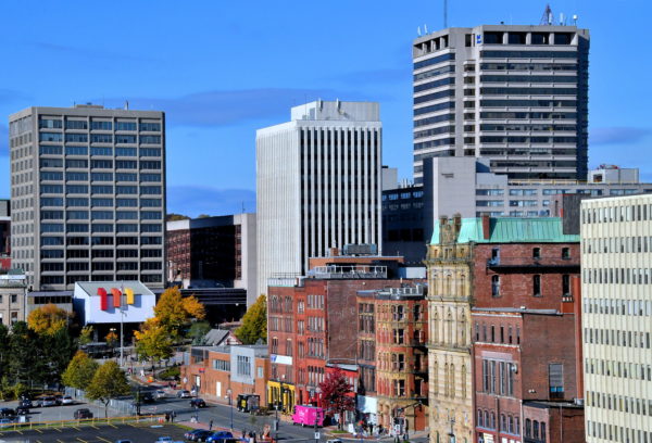
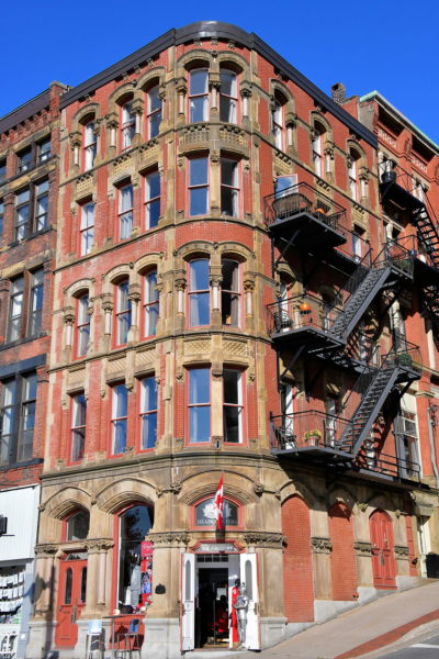
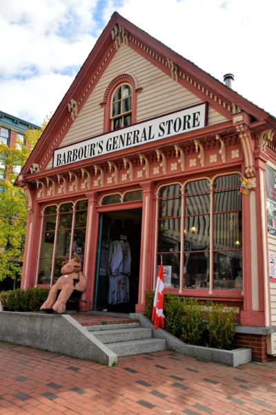
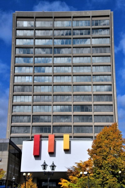
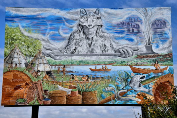
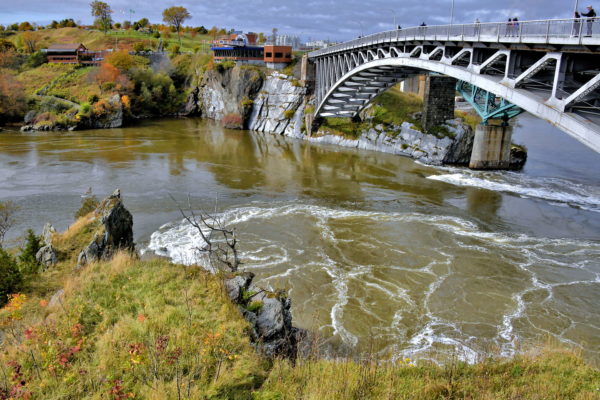
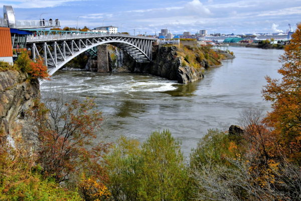
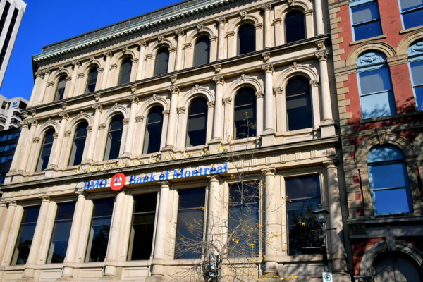
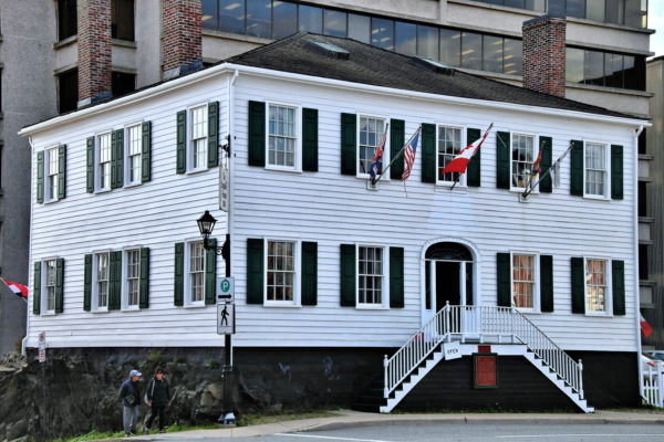
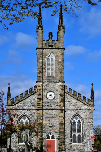
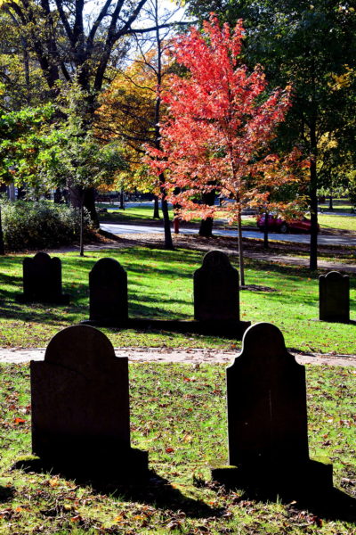
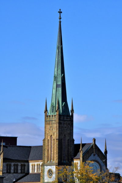
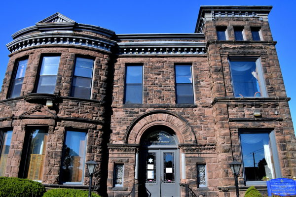
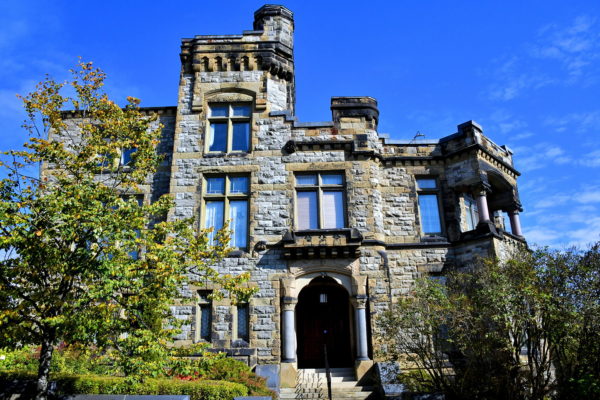
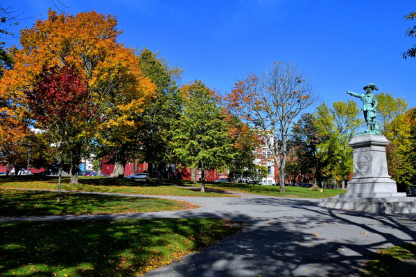
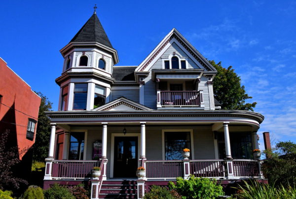
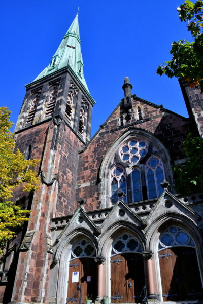
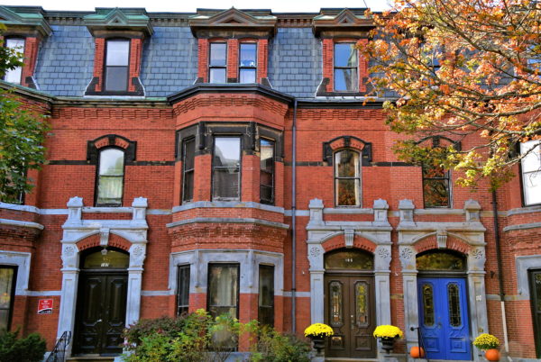
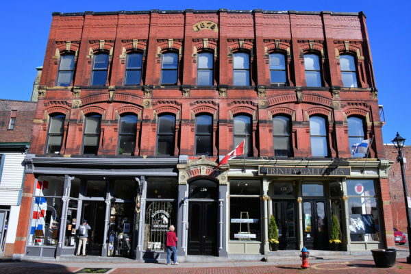
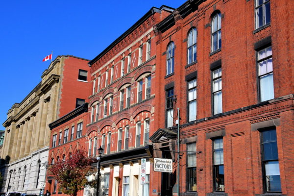
New Brunswick’s second largest city was home to the Wolastoqiyik people for thousands of years before Frenchman Samuel de Champlain’s discovery in 1604. Saint John was largely shaped by Loyalists escaping the American Revolution and Irish fleeing famine. Uptown is a time capsule of reconstruction after a devastating fire in 1877. And the main attraction is a phenomenon of nature called Reversing Falls.

Share this
Arriving at Saint John, Canada - Encircle Photos

1 Arriving at Saint John, Canada

If you are one of the 175,000 annual cruise passengers visiting Saint John for the day, you will arrive at the Marco Polo Cruise Terminal. The facility is named after a three-masted wooden ship built at the port in 1851. Saint John has a population of about 70,000 … nearly twice more live in the metropolitan area. This qualifies as the second largest city in the province of New Brunswick. Saint John was founded by the French in 1604 and incorporated by the British in 1785. Now, it is your turn to explore the historic waterfront, the world’s most dramatic tide fluctuation plus the walkable Uptown (downtown) and neighborhoods. They are filled with predominately stone/brick storefronts and houses. Most were built during five years of the Victorian Era after a devasting fire in 1877.

111 Water St, Saint John, NB E2L 0B1, Canada
Enlarge/Slideshow See On Map Directions
Disembarkation on Water Street in Saint John, Canada - Encircle Photos

2 Disembarkation on Water Street in Saint John, Canada

If you prefer a self-guided tour of Saint John, you have two options: explore downtown and a few neighborhoods or take a harbor walk leading to the famous Reversing Falls. This travel guide provides recommendations for both. It starts on Water Street, your disembarkation point from a cruise ship, and leads you along the waterfront. The city tour begins at photo number 18. If you are energetic, there should be plenty of time to see everything in one day.

44 Water St, Saint John, NB E2L 1J9, Canada
Enlarge/Slideshow See On Map Directions
Barbour’s General Store in Saint John, Canada - Encircle Photos

3 Barbour’s General Store in Saint John, Canada

Barbour’s General Store appears to be a souvenir shop designed to attract tourists’ wallets. Don’t judge the contents by the quaint Victorian façade. The store was located in Sheffield, New Brunswick, from the 1860s until the 1940s. In the late 1960s, the store was moved here, reconditioned and converted into a museum by the G.E. Barbour Company. On display are everyday merchandise available from a general store in the late 19th century. In back is a tourist information desk. The knowledgeable staff can answer your questions, provide a detailed map and arrange excursions and guides. Make sure to ask for the free walking tours brochure. The excellent pamphlet has detailed descriptions of the city’s heritage buildings.

10 N Market St, Saint John, NB E2L 2H7, Canada
Enlarge/Slideshow See On Map Directions
Saint John City Hall in Saint John, Canada - Encircle Photos

4 Saint John City Hall in Saint John, Canada

Across Market Square from Barbour’s General Store is Saint John City Hall. The city’s third tallest building at 181 feet houses the mayor’s office, the ten city councilors and their meeting chamber plus other businesses. On the first floor is a Visitor Information Centre.

15 Market Square, Saint John, NB E2L 4L1, Canada
Enlarge/Slideshow See On Map Directions
Timepiece Sculpture at Market Square in Saint John, Canada - Encircle Photos

5 Timepiece Sculpture at Market Square in Saint John, Canada

Market Square is a shopping mall with places to eat ranging from a coffee shop to a steakhouse. You will also find a public library. Perhaps most interesting is the New Brunswick Museum. Abraham Gesner was the founder of a natural history museum in 1842. His extensive collection was expanded to include cultural heritage, history and decorative arts from Canada’s eastern provinces. These sculpted gentlemen appear to be patiently waiting for their spouses to return. The ensemble by John Hooper is named Timepiece. Unlike most clock towers, it does not have a traditional face with hands. Instead, the serpent and the four people on top rotate to indicate the time.

1 Market Square, Saint John, NB E2L 4Z7, Canada
Enlarge/Slideshow See On Map Directions
North Market Wharf in Saint John, Canada - Encircle Photos

6 North Market Wharf in Saint John, Canada

North Market Wharf is where the United Kingdom Loyalists landed in 1783 after escaping their defeat during the American Revolutionary War. These seven, late-19th century brick buildings alongside Market Square were warehouses when Market Slip was an active part of the city’s port. They are now restaurants, pubs and the convention center. At the end of the wharf are a pair of Saint John Coast Guard Base Lighthouses. The small, octagonal tower seen here was built in 1985 as an ornamentation. This marks the beginning of your waterfront stroll toward Reversing Falls. The one-way distance is about two miles. The initial part of your journey is on Harbour Passage Trail.

41 N Market Wharf, Saint John, NB E2L 0A1, Canada
Enlarge/Slideshow See On Map Directions
St. Luke’s Anglican Church in Saint John, Canada - Encircle Photos

7 St. Luke’s Anglican Church in Saint John, Canada

The Anglican Parish of Portland was established in 1769. Two previous churches were built on Portland Point in the 19th century: Grace Church in 1829 and St. Luke’s Church in 1838. After the citywide fire in 1877, the current structure was finished in 1880. The simple, elegant design features lancet windows with stained glass and a conical copper roof above the clock tower. St. Luke’s is affiliated with the Anglican Church of Canada.

369 Main St, Saint John, NB E2K 1J1, Canada
Enlarge/Slideshow See On Map Directions
Fort La Tour on Harbour Passage Trail in Saint John, Canada - Encircle Photos

8 Fort La Tour on Harbour Passage Trail in Saint John, Canada

A major historic site you will encounter along the Harbour Passage Trail is Fort La Tour. Originally called Fort Sainte-Marie, this was a fur-trading post established in 1631 by Frenchmen Charles de Saint-Étienne de La Tour. La Tour was a two-time Governor of Acadia. He earned his wealth buying animal pelts from Aboriginal people and selling them to Europeans. This archeological site on Portland Point has been reconstructed as a tourist attraction.

Fort La Tour, 124 Chesley Drive, Saint John, NB E2K 1K7, Canada
Enlarge/Slideshow See On Map Directions
Menahkwesk Mural on Harbour Passage Trail in Saint John, Canada - Encircle Photos

9 Menahkwesk Mural on Harbour Passage Trail in Saint John, Canada

You are standing on the ancestral land of Aboriginals going back over 12,000 years. Pre-Europeans, the area was inhabited by the Mi’kmaq, Passamaquoddy and especially the Wolastoqiyik people. The latter’s name means “people of the beautiful river.” These hunter/gatherers were concentrated around the Saint John River in a community named Wikotik or, more correctly, Menahkwesk. The colonists called these First Nation people Maliseets or Malecites. This is one of two murals along the Harbour Passage Trail honoring these original inhabitants. The artwork by Emili Naish depicts Glooscap offering a pipe from his stone canoe. Also known as Gluskabe, he was an omnipotent hero in many cultural stories.

384 Harbour Passage Trail, Saint John, NB E2K 1K7, Canada
Enlarge/Slideshow See On Map Directions
Ecological Hub on Harbour Passage Trail in Saint John, Canada - Encircle Photos

10 Ecological Hub on Harbour Passage Trail in Saint John, Canada

You have been walking on the orange, waterfront path called the Harbour Passage Trail. Along the way you have encountered informative plaques, historical sites and benches to watch the inner harbor at the mouth of the Saint John River. The scenic walk is a bit marred by the Harbour Bridge overpass, the remains of the industrial port and the busy parallel traffic. Yet, it is one of the most popular routes for local walkers, cyclists and tourists. This building is an Ecological Hub. Inside the Eco-Hub are educational displays about the area’s wildlife, environment, nature and ecosystem.

248 Chesley Dr, Saint John, NB E2K 5L6, Canada
Enlarge/Slideshow See On Map Directions
Memory Vessel Sculpture in Saint John, Canada - Encircle Photos

11 Memory Vessel Sculpture in Saint John, Canada

When the Harbour Passage Trail ends, you still have more than a half mile before reaching Reversing Falls. This non-scenic stretch is parallel to the busy Chesley Drive. Along the way, you will encounter the Memory Vessel within the small Irving Memorial Park. This canoe-shaped sculpture by Peter Powning commemorates five people who accidently died near here. The artwork’s exterior is stainless steel. Inside are small pieces of recycled glass. The memorial is illuminated at night, emitting a soft glow.

Memory Vessel, Chesley Dr, Saint John, NB E2K 5L6, Canada
Enlarge/Slideshow See On Map Directions
Reversing Falls Lookout Point in Saint John, Canada - Encircle Photos

12 Reversing Falls Lookout Point in Saint John, Canada

At the end of your walk along the harbor, you will arrive at a free platform overlooking Reversing Falls. Be prepared to be amazed. Equally amazing are the geological formations below your feet and across the Saint John River. This is where two distant continents collided prehistory. The Avalon Terrane (also called the Caledonia Terrane) traveled here from Africa about 540 million years ago. The Brookville Terrane is even older. It originated in South America more than 700 million years ago. Some sections could be over one billion years old.

Reversing Falls Lookout Point, Chesley Dr, Saint John, NB E2K 5L6, Canada
Enlarge/Slideshow See On Map Directions
Reversing Falls in Saint John, Canada - Encircle Photos

13 Reversing Falls in Saint John, Canada

Reversing Falls is a rare anomaly of nature. This is where the Saint John River rushes through a narrow gorge before emptying into the Bay of Fundy and then the Atlantic Ocean. The bay is subject to an extreme range of tides of up to 28 feet. During high tide (every 12 hours and 10 minutes), the river runs backwards in swirling whirlpools and rapids. The powerful action is mesmerizing. The gorge was formed about 15,000 years ago at the end of the last glacial period. Geologists suspect three waterfalls once existed here. The cascades slowly eroded into the current view about 3,000 years ago.

Reversing Falls Lookout Point, Chesley Dr, Saint John, NB E2K 5L6, Canada
Enlarge/Slideshow See On Map Directions
Skywalk overlooking Reversing Falls in Saint John, Canada - Encircle Photos

14 Skywalk overlooking Reversing Falls in Saint John, Canada

On the other side of the Reversing Falls Bridge is the Skywalk Saint John. The highpoint of this tourist attraction is the outdoor observation platform overlooking the falls. The facilities also include a restaurant, gift shop and a 12 minute film about the geology and history of the area.

200 Bridge Rd, Saint John, NB E2M 7Y9, Canada
Enlarge/Slideshow See On Map Directions
Koluskap and Beaver at Wolastoq Park in Saint John, Canada - Encircle Photos

15 Koluskap and Beaver at Wolastoq Park in Saint John, Canada

On the hill behind you is Wolastoq Park. The name means “beautiful river” in the Maliseet language. This interesting sculpture garden displays chainsaw carvings of famous people who shaped Saint John. On the left is Koluskap. He was the original ancestor of the Wolastoqiyik and their protector. According to legend, a giant beaver once built a dam on Wolastoq (Saint John River). This caused massive flooding of the villages upstream. The people beseeched Koluskap to help. Koluskap tried negotiating with the beaver but failed. So, he smashed the dam with his club. The rushing water created the Reversing Falls. Sections of the dam lodged in the river and formed Partridge Island. Koluskap then shrunk all future beavers to their present size to avoid similar problems in the future.

211 Lancaster Ave, Saint John, NB E2M 2K8, Canada
Enlarge/Slideshow See On Map Directions
Pulp Mill and Islets on Saint John River in Saint John, Canada - Encircle Photos

16 Pulp Mill and Islets on Saint John River in Saint John, Canada

The elevation of Wolastoq Park provides an excellent overlook of the Saint John River upstream from Reversing Falls. This is the convergence point with the Kennebecasis River. Some speculate the name means “little long bay place.” The pulp and paper mill is operated by J.D. Irving, Limited. This locally-based conglomerate is also active in transportation, shipbuilding and media. In 1604, French explorer Samuel de Champlain was the first European to map the three islets. They are named (left to right) Goat Island, Middle Island and Crow Island. To the right of them is Fallsview Park.

211 Lancaster Ave, Saint John, NB E2M 2K8, Canada
Enlarge/Slideshow See On Map Directions
Reversing Falls from Wolastoq Park in Saint John, Canada - Encircle Photos

17 Reversing Falls from Wolastoq Park in Saint John, Canada

After descending from Wolastoq Park, enjoy another long look at Reversing Falls from this southwest angle. As low tide approaches, the water will change direction and begin flowing downstream again. From here, the Saint John River will soon end its 418 mile journey by emptying into the Bay of Fundy. Now it is time for you to retrace your steps along the harbor so you can begin exploring the historic sites of Saint John.

16 Riverview Ave W, Saint John, NB E2M 7Y9, Canada
Enlarge/Slideshow See On Map Directions
Domville Building in Saint John, Canada - Encircle Photos

18 Domville Building in Saint John, Canada

Ready to explore Uptown Saint John? Start across from Barbour’s General Store at the Domville Building. The façade has a handsome Second Empire design with Neoclassical features. This was the first major commercial building to open after the Great Saint John Fire of 1877. The name honors James Domville, a two-time member of the Canadian Parliament and a New Brunswick senator. The structure originally housed the Maritime Bank of Saint John. Today, it is a Bank of Montreal branch. You are now going to explore the Trinity Royal Heritage Conservation Area. Within several blocks are excellent examples of Saint John’s Victorian Era landmarks plus a few from the colonial period.

2 King St, Saint John, NB E2L 1G2, Canada
Enlarge/Slideshow See On Map Directions
Loyalist House in Saint John, Canada - Encircle Photos

19 Loyalist House in Saint John, Canada

Perhaps the oldest residence in Saint John is the Loyalist House. The New England Federal style home was built in 1817 for David Merritt. He was the son of Thomas Merritt, a United Empire Loyalists who fled New York in 1783 after the British lost the American Revolution. Five generations of the Merritt family lived here for 141 years. They watched as their farmland evolved into the center of Uptown by the time Louis Merritt Harrison died in 1958. This National Historic Site of Canada was then purchased by the New Brunswick Historical Society and opened as a museum. Step inside to tour what an affluent lifestyle was like during the 19th century.

120 Union St, Saint John, NB E2L 1A3, Canada
Enlarge/Slideshow See On Map Directions
Stone Church in Saint John, Canada - Encircle Photos

20 Stone Church in Saint John, Canada

Approach this marvelous National Historic Site from Wellington Row when the afternoon sun illuminates the façade. There is no question why St. John’s Anglican Church is colloquially called Stone Church. The masonry work is striking, especially after the recent renovation. These stones were originally ballasts used to stabilize British cargo ships during the early 19th century. The Gothic Revival church was built in 1825 to serve the British garrison. St. John’s Church was one of the few buildings left standing after the fire in 1877 destroyed most of the city.

87 Carleton St, Saint John, NB E2L 2Z2, Canada
Enlarge/Slideshow See On Map Directions
King Edward VII Bandstand at King’s Square in Saint John, Canada - Encircle Photos

21 King Edward VII Bandstand at King’s Square in Saint John, Canada

King’s Square is a small greenspace shaped like a Union Jack. The property was decreed for public use by royal charter in 1785. In 1908, the park’s centerpiece was constructed: the King Edward VII Memorial Bandstand. He reigned the United Kingdom from 1901 until 1910. Notice the cornet perched on top of the copper roof. This symbolizes the project’s benefactor, the City Cornet Band. King’s Square is encircled by several landmarks. These include the Imperial Theatre, Firefighter’s Museum, City Market and Old Loyalist Burial Ground.

100 King St, Saint John, NB E2L 1G4, Canada
Enlarge/Slideshow See On Map Directions
Saint John City Market at King’s Square in Saint John, Canada - Encircle Photos

22 Saint John City Market at King’s Square in Saint John, Canada

Canada’s oldest farmers market was established in Saint John in 1785. The current Saint John City Market was built facing King’s Square in 1876. The 12 to 24 inch thick brick façade is credited with saving the building from the great fire the following year. The National Historic Site of Canada has a Second Empire design. City Market is filled with vendors selling everything from bakery goods, produce, seafood and meats plus crafts. This is the Germain Street entrance. Above the door is a sculpture by Carol Taylor named Figurehead. The decoration is similar to those found on the bows of old sailing ships. The artwork complements the interior timber roof which is shaped similar to the hull of a ship.

47 Charlotte St, Saint John, NB E2L 2H8, Canada
Enlarge/Slideshow See On Map Directions
Imperial Theatre at King’s Square in Saint John, Canada - Encircle Photos

23 Imperial Theatre at King’s Square in Saint John, Canada

The Imperial Theatre opened at King’s Square in 1913. Similar to most theaters during the early 20th century, it first staged vaudeville acts, followed by talkies and eventually movies. It became part of the Capitol Theatre chain in 1929. Several prosperous years followed before suffering years of decline and closing in the mid-1950s. The tenant from 1957 until 1982 was the Full Gospel Assembly. The theater was slated for demolition until a taxi driver spearhead a salvation campaign. After raising over $1.1 million CAD from local citizens, a major restoration was launched. The renovated Imperial Theatre opened in 1994. This National Historic Site of Canada now hosts an active schedule of concerts, plays and comedy acts. Some of these are performed at other venues around the city.

12 King Square S, Saint John, NB E2L 5B8, Canada
Enlarge/Slideshow See On Map Directions
Firefighters Museum at King’s Square in Saint John, Canada - Encircle Photos

24 Firefighters Museum at King’s Square in Saint John, Canada

Through the Victorian Era, most Canadian fire departments relied on volunteers. No. 2 Engine House is a classic example. It also has the distinction of being the first municipal station designed for hand-pumped fire engines. The firehouse operated across from King’s Square from 1841 until 1949. In 1991, this became the Saint John Firefighters Museum. The displays are fascinating. They include equipment from the 19th century plus informative exhibits about the Great Saint John Fire of 1877.

24 Sydney St, Saint John, NB E2L 2L3, Canada
Enlarge/Slideshow See On Map Directions
Horse-drawn Carriage Ride in Saint John, Canada - Encircle Photos

25 Horse-drawn Carriage Ride in Saint John, Canada

Uptown Saint John is compact and easy to explore on foot. Yet, a few streets are hilly. So, some people opt to see the city’s highlights aboard a horse-drawn carriage. The driver’s narrative is informative and often funny. Another alternative is the Rockwood Park Stables in the North End. They offer trail and wagon rides during the summer and sleigh rides in the winter. You can also sign up for horseback lessons.

King St E & Sydney St, Saint John, NB E2L 2L3, Canada
Enlarge/Slideshow See On Map Directions
Old Loyalist Burial Ground in Saint John, Canada - Encircle Photos

26 Old Loyalist Burial Ground in Saint John, Canada

When the American Revolutionary War ended in 1783, people who supported the British Crown in the Thirteen Colonies fled in droves. As an incentive to resettle in Canada, King George III of the United Kingdom gave each person a parcel of land. Approximately 35,000 to 40,000 arrived in Nova Scotia and the new colony of New Brunswick. In 1783, 14,000 of them decided to live in Saint John. The immigrants were called United Empire Loyalists or Loyalists for short. This cemetery was established during their initial year. The Old Loyalist Burial Ground operated for 65 years. Loyalist Day is celebrated annually in Saint John on May 18. This marks the anniversary of their first landing in 1783.

King Street E & Carmarthen St, Saint John, NB E2L 1H1, Canada
Enlarge/Slideshow See On Map Directions
Cathedral of the Immaculate Conception in Saint John, Canada - Encircle Photos

27 Cathedral of the Immaculate Conception in Saint John, Canada

The first half of the 19th century was brutal for people in Ireland. In 1801, after they became a colony of Great Britain, Catholics were prohibited from owning land. Then, widespread starvation occurred from 1845 until 1852 during the Irish Potato Famine. No wonder they escaped their country in mass. From 1815 until 1867, an estimated 150,000 Irish Catholics arrived in Saint John’s port. Many moved elsewhere in North America. But by 1851, over half the city’s population were Irish. They lived in deplorable conditions. One of the responses was to build the Cathedral of the Immaculate Conception. The Gothic design was created in 1852 by architect Matthew Stead. It was consecrated in 1855. The needle-like spire was added in 1871. At a height of 230 feet, the cathedral is the second tallest building in Saint John.

91 Waterloo St, Saint John, NB E2L 3P9, Canada
Enlarge/Slideshow See On Map Directions
Saint John Jewish Historical Museum in Saint John, Canada - Encircle Photos

28 Saint John Jewish Historical Museum in Saint John, Canada

Based on Saint John’s history, it is not surprising to learn over 90% of today’s citizens have British, French or Irish ancestors. The city’s much smaller Jewish community is equally proud of their heritage. Their roots began with the arrival of Solomon and Alice Hart from England in 1858. The first synagogue was erected in 1899. The growth and decline of their population is a classic bell curve. At the peak in the 1920s, the Jewish population was about 1,400. At the low point in 2000, only 300 remained. The Saint John Jewish Historical Museum was opened in 1986 by Marcia Koven to tell their fascinating stories and describe their contributions.

91 Leinster St, Saint John, NB E2L 1J2, Canada
Enlarge/Slideshow See On Map Directions
Caverhill Hall in Saint John, Canada - Encircle Photos

29 Caverhill Hall in Saint John, Canada

Simeon Jones was a successful brewer, city council member and then mayor of Saint John. He spent a fortune building this grand residence in 1884. It remained in the family until 1918. The two-tone limestone façade is reflective of Baronial architecture initially used in Scotland for small castles. The mansion was given his mother’s maiden name of Caverhill. The Duke and Duchess of Cornwall and York (the future King George V and Queen Mary) stayed here during their royal tour of Canada. The property has also been used for military officers in WWI, a health center and the Air Force Social Club.

134 Sydney St, Saint John, NB E2L 2M1, Canada
Enlarge/Slideshow See On Map Directions
Samuel de Champlain Monument at Queen Square in Saint John, Canada - Encircle Photos

30 Samuel de Champlain Monument at Queen Square in Saint John, Canada

Queen Square is a quiet, treelined neighborhood park. But every Sunday from mid-May until October, this transforms into the bustling Queen Square Farmers Market. On the right is a monument to Samuel de Champlain. The French navigator is credited with entering the river mouth during his second voyage to the New World on June 24, 1604. This was the feast day of Saint John the Baptist. So, he named the river la Rivière St-Jean (Saint John River). Four years later, Champlain founded today’s Québec City and became the Father of New France. This sculpture at Queen’s Square was created by Hamilton McCarthy and erected in 1910.

16-20 Queen Square S, Saint John, NB E2L 1R7, Canada
Enlarge/Slideshow See On Map Directions
Mahogany Manor on Germain Street in Saint John, Canada - Encircle Photos

31 Mahogany Manor on Germain Street in Saint John, Canada

After the fire in 1877, the wealthy were eager to rebuild their residences. Several elaborate mansions were constructed along Germain Street. This handsome, Queen Anne Revival house was built for William Cross in 1905. He operated a successful wholesale grocery company. The property is now Mahogany Manor. The quaint bed & breakfast has furnished their five guest rooms with antique furniture.

220 Germain St, Saint John, NB E2L 2G4, Canada
Enlarge/Slideshow See On Map Directions
St. Andrew and St. David Church on Germain Street in Saint John, Canada - Encircle Photos

32 St. Andrew and St. David Church on Germain Street in Saint John, Canada

A minority of Loyalists who escaped to Saint John in 1783 were of Scottish heritage. They had watched as their Anglican counterparts constructed Trinity Church (also on Germain Street). Some attended services there. But they wanted their own place to worship their Presbyterian faith. Auld Kirk opened in 1815 and was renamed Saint Andrew’s in 1817. Citywide fire destroyed it in 1877. The parishioners were resourceful. They purchased bricks from the burnt hull of an adjacent hotel and rebuilt in less than two years. In 1925, Saint Andrew’s joined the United Church of Canada. In 1962, it merged with the Saint David’s United Church. Unfortunately, after 140 years, the church was closed in the autumn of 2018.

164 Germain St, Saint John, NB E2L 2G3, Canada
Enlarge/Slideshow See On Map Directions
Former Bullock Houses on Germain Street in Saint John, Canada - Encircle Photos

33 Former Bullock Houses on Germain Street in Saint John, Canada

Many of the late 19th century homes along Germain Street are similar to these brick rowhouses. This three-unit complex with a Second Empire design was constructed for the Bullock family in 1888. In the center lived Joseph Bullock, owner of prosperous Eastern Oil until the company was acquired by Imperial Oil in 1900. In number 183 lived his son, Thomas, a mayor of Saint John from 1908 until 1910. His other son John live in number 187.

185 Germain St, Saint John, NB E2L 2G1, Canada
Enlarge/Slideshow See On Map Directions
Namesake for Germain Street in Saint John, Canada - Encircle Photos

34 Namesake for Germain Street in Saint John, Canada

Germain Street is named after Lord George Germain. He was the British Colonial Secretary (1775 – 1782) in charge of the American colonies. His bad advice to the British military is partially blamed for the United Kingdom’s defeat during the American Revolution. It seems odd he would be posthumously honored with a street name.

124 Germain St, Saint John, NB E2L 2E7, Canada
Enlarge/Slideshow See On Map Directions
Trinity Anglican Church facing Germain Street in Saint John, Canada - Encircle Photos

35 Trinity Anglican Church facing Germain Street in Saint John, Canada

Loyalists founded the Anglican Parish of Saint John in 1783 soon after taking refuge in the city following the American Revolution. Their first Trinity Church was built eight years later and then destroyed during the fire of 1877. The existing stone edifice has a handsome Victorian Gothic design by Montreal architect W.T. Thomas. Trinity Anglican Church opened in 1880. The octagonal spire soars 210 feet capped by a weather vane and a fish symbolizing Christianity. This is Trinity Church’s Germain Street entrance.

115 Charlotte St, Saint John, NB E2L 2J2, Canada
Enlarge/Slideshow See On Map Directions
Old City Hall on Prince William Street in Saint John, Canada - Encircle Photos

36 Old City Hall on Prince William Street in Saint John, Canada

Within about ten hours, the Great Fire of 1877 destroyed over 1,600 buildings. When the ashes cooled, the citizens of Saint John worked tirelessly for the next five years to rebuild … this time in stone and brick. The federal government paid for a new post office and custom house. The municipal government constructed public services buildings. Among them was this City Hall. This beige sandstone structure with a handsome Second Empire design housed the mayor and city council from 1879 until 1971.

116 Prince William St, Saint John, NB E2L 2B6, Canada
Enlarge/Slideshow See On Map Directions
Landmarks on Prince William Street in Saint John, Canada - Encircle Photos

37 Landmarks on Prince William Street in Saint John, Canada

Prince William Street was the first in the country to be designated a National Historic Site of Canada. There are a dozen structures along this four-block route dating from the late 19th century and a few from the early 20th century. The most interesting section is from Princess Street (location of Old City Hall) to Duke Street (site of high school in next photo). Especially noteworthy are the Old Post Office (1881) and the Bank of New Brunswick (1879). Shown here (right to left) are the Troop Building (1883), Vroom and Arnold Building (1881), Seamen’s Mission (1908) and Postal Station A (1915).

162 Prince William St, Saint John, NB E2L 2B4, Canada
Enlarge/Slideshow See On Map Directions
Saint John High School on Prince William Street in Saint John, Canada - Encircle Photos

38 Saint John High School on Prince William Street in Saint John, Canada

Tourists rarely want to see a city’s schools. However, the origin of Saint John High School has the distinction of being the oldest publicly-funded school in Canada. It began as the Saint John Grammar School for boys in 1805. A separate girl’s school was founded in 1871. Co-ed classes did not exist until this building opened on Prince William Street in 1932. This ends your walking tour of Saint John. From here, you will see your berthed cruise ship less than a half block away.

200 Prince William St, Saint John, NB E2L 2B7, Canada
Enlarge/Slideshow See On Map Directions
TOP