Grenada

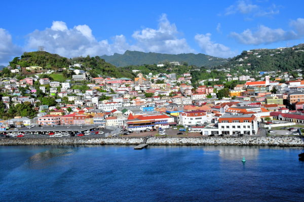
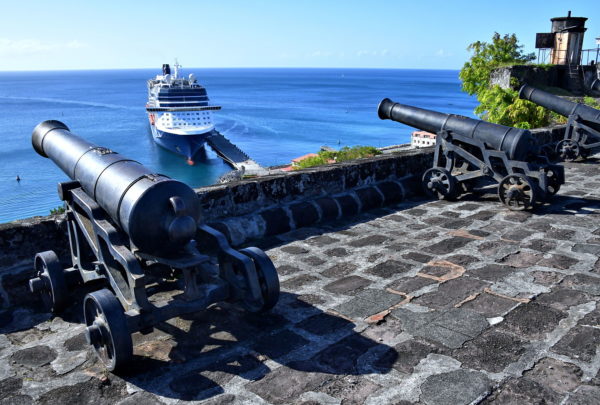
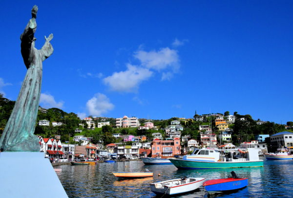
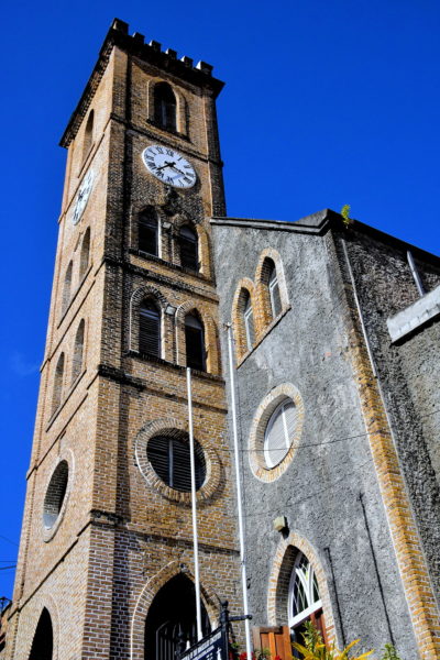
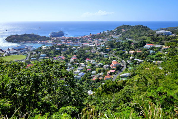
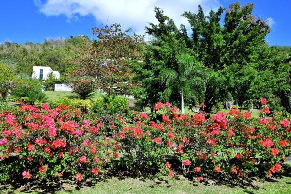
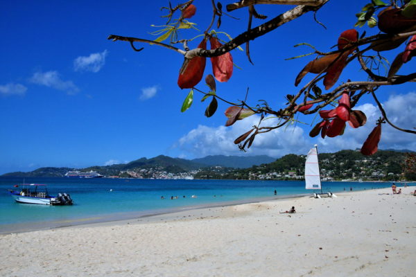
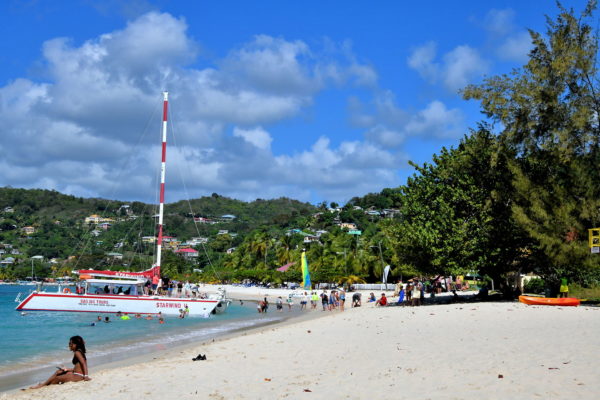
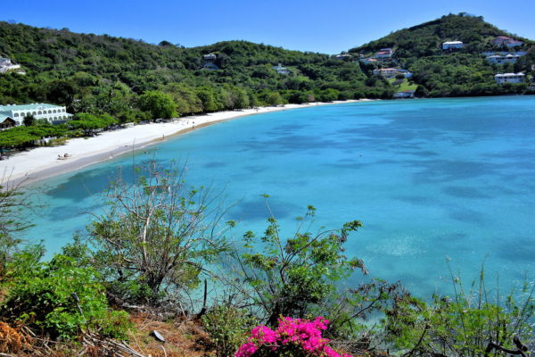
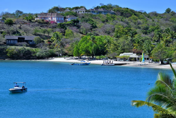
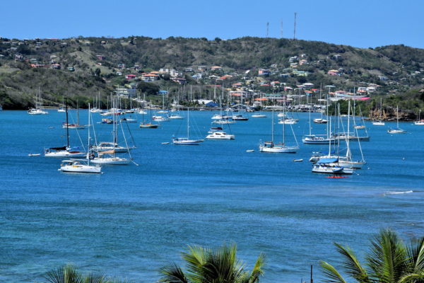
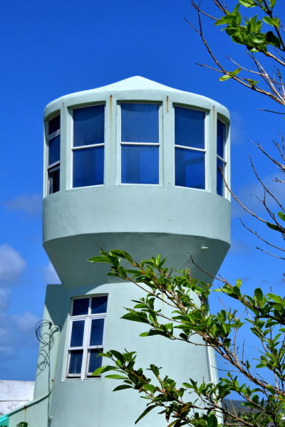
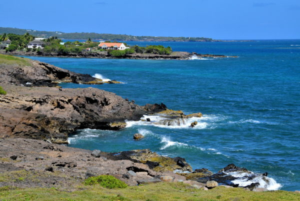
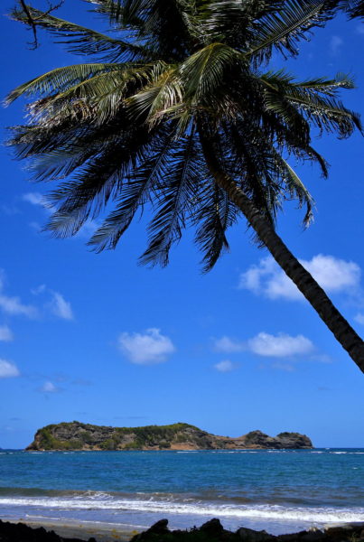
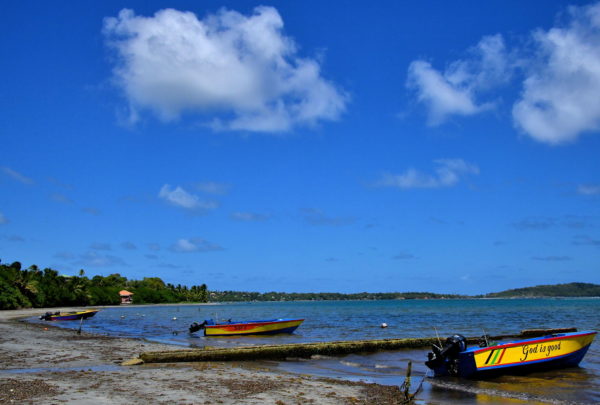
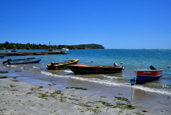
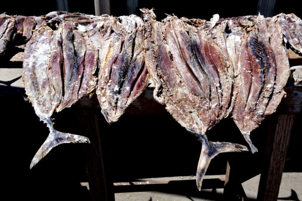
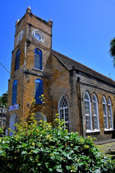
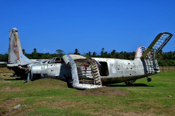
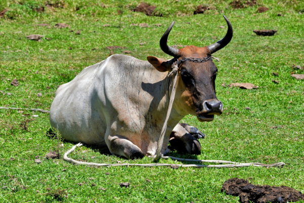
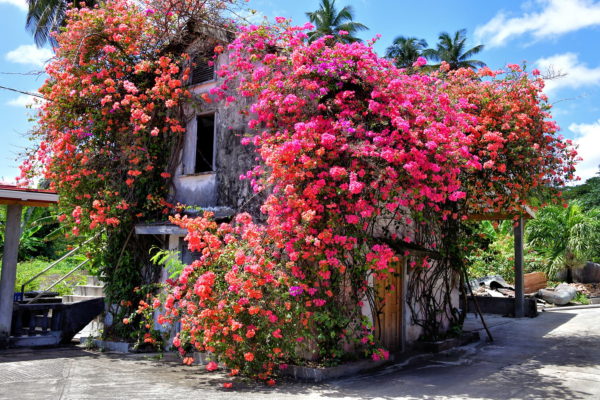
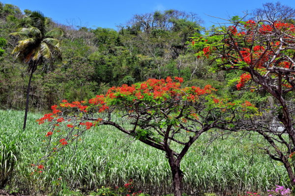
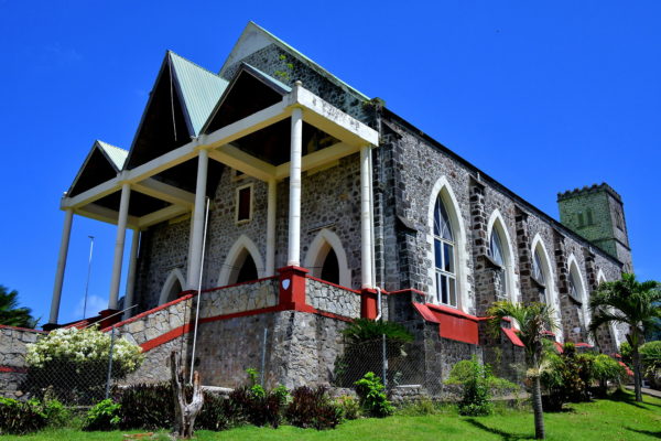
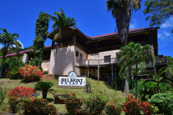
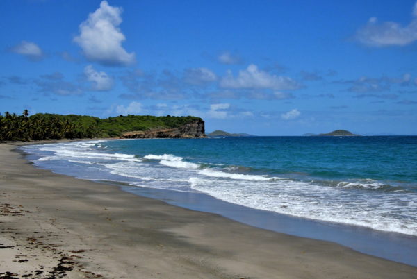
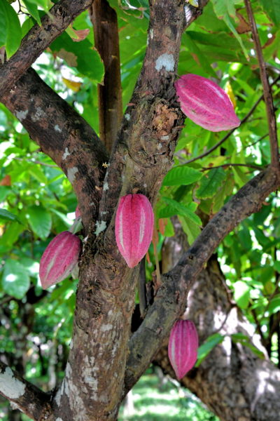
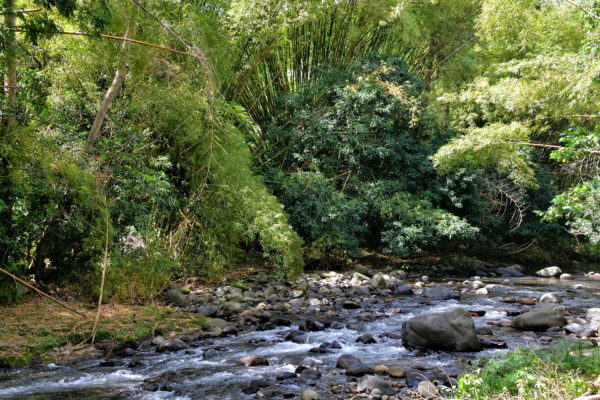
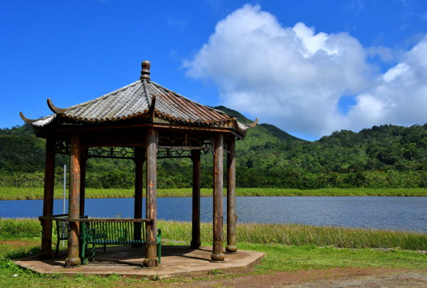
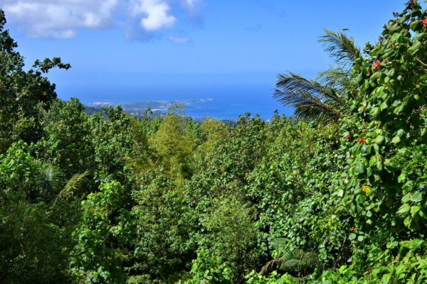
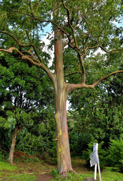
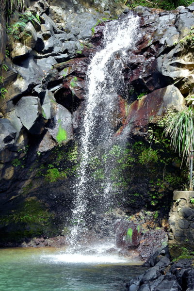
Welcome to Spice Isle, the southernmost island of the Lesser Antilles. Grenada is everything you dream about for an ideal vacation in the Caribbean … amazing beaches, historic sites, picturesque coastlines plus so much more. This travel guide is a road trip to see the best Grenada has to offer.

Share this
Sailing into St. George’s, Grenada - Encircle Photos

1 Sailing into St. George’s, Grenada

Imagine how different this coastline appeared on August 15, 1498, when Christopher Columbus sailed by during his third voyage to the New World. He named his discovery La Concepción. A year later, Alonso de Ojeda – a Spanish conquistador and Columbus competitor – traveled by here. He called the island Mayo. The name continued to evolve by the Spanish in the 1520s (Granada), by the French in 1652 (La Grenade) and finally by the British in 1763 (Grenada). Now, as you are sailing into this picturesque Caribbean island, you decide the appropriate superlative(s) to call it.

St. George’s Bay, St. George's, Grenada
Enlarge/Slideshow See On Map Directions
Cruise Ship Terminal in St. George’s, Grenada - Encircle Photos

2 Cruise Ship Terminal in St. George’s, Grenada

You have arrived at the cruise ship terminal at the capital city of St. George’s. Grenada is small: only 135 square miles with a population of about 112,000. So, you can explore much of the Spice Island in a day by following this travel guide. Or pick a couple of spots and savor your time on this tropical gem. Grenada is encircled by the Atlantic Ocean and the Caribbean Sea. The sovereign state is the southernmost part of the Lesser Antilles and less than 150 miles north of mainland Venezuela.

Cruise Ship Terminal, Melville Street, St. George's, Grenada
Enlarge/Slideshow See On Map Directions
St Andrew’s Presbyterian Church in St. George’s, Grenada - Encircle Photos

3 St Andrew’s Presbyterian Church in St. George’s, Grenada

In 1830, Scottish immigrants to Grenada founded St Andrew’s Kirk and laid the foundation stone for their church. Construction on Scot’s Kirk finished three years later. Ever since, the impressive clock tower – with a bell cast in Glasgow, Scotland – has overlooked St. George’s Inner Harbour. About half of the island’s population are Protestant. Tragically, the church was badly damaged by Hurricane Ivan on September 7, 2004. Repairs have not yet been made. Notice the tower on a hill overlooking the cruise terminal. Use it as a guidepost to walk up the stairs and along a path leading to Fort George.

St Andrew’s Church, Grand Etang Road, St. George's, Grenada
Enlarge/Slideshow See On Map Directions
Curtain Wall of Fort George in St. George’s, Grenada - Encircle Photos

4 Curtain Wall of Fort George in St. George’s, Grenada

Fort George is a major historic landmark. You can see the early 18th century fortress on the hill overlooking the cruise terminal. To get there, walk toward the clock tower of St Andrew’s Presbyterian Church. Next to the Sendall Tunnel (built in 1894) is a steep staircase. From there, follow Grand Etang Road until you are standing at the base of the former French and British fort. Take a moment to admire the formidable stone curtain wall with the battery of cannons peering over the top.

Fort George, Grand Etang Road, St. George's, Grenada
Enlarge/Slideshow See On Map Directions
History of Fort George in St. George’s, Grenada - Encircle Photos

5 History of Fort George in St. George’s, Grenada

The French were the first Europeans to successfully colonize the island beginning in 1649. They called it La Grenade. Their main settlement was Fort Royal (today’s Town of St. George’s). During the second half of the 1600s, the colonists regularly battled against the local Caribs. Once the French achieved dominance, they built Fort Royal from 1706 though 1710 to protect the harbor from invasion by other countries. In 1762, the British captured Grenada during the Seven Year’s War. The following year, they assumed official control in the Treaty of Paris. The British renamed the citadel Fort George. This honored King George III who was the United Kingdom’s reigning monarch. The French recaptured the city during the Battle of Grenada in 1779 but then ceded it back to Britain in 1783 under the Treaty of Versailles. Inside the fort is a plaque marking the spot where self-declared prime minister Maurice Bishop and other members of the Marxist New Jewel Movement were executed by a firing squad in 1983. This event led to the four-day invasion of Grenada by the United States. Today, part of Fort George is occupied by the Royal Grenada Police. Tourists flock here to stand on the wall for a panoramic view of the harbor.

Fort George, Grand Etang Road, St. George's, Grenada
Enlarge/Slideshow See On Map Directions
Christ of the Deep Statue in St. George’s, Grenada - Encircle Photos

6 Christ of the Deep Statue in St. George’s, Grenada

This statue at the Carenage harbor recognizes the fate of the Bianca C. The Italian luxury cruise ship is often referred to as the Titanic of the Caribbean. In the very early morning of October 22, 1961, while the ship was anchored at St. George’s, a major explosion occurred in the boiler room. Local residents quickly manned their fishing boats to rescue nearly 700 passengers and crew (only one died). They created a makeshift hospital to care for the injured while welcoming others into their homes. The ship sunk two days later near Grand Anse Beach. In appreciation for the heroic efforts of the Grenadians, Costa Line gifted this statue named Christ of the Deep. The bronze is a replica of the Christ of the Abyss statue located underwater in the Mediterranean Sea near Genoa, Italy. Artist Guido Galletti created the original.

Christ of the Deep, Wharf Road, St. George's, Grenada
Enlarge/Slideshow See On Map Directions
Immaculate Conception Cathedral in St. George’s, Grenada - Encircle Photos

7 Immaculate Conception Cathedral in St. George’s, Grenada

The first Catholic Mass on Grenada was celebrated by a French Dominican priest in 1650. Several churches were built and replaced on the island during the balance of the 17th century and during the 18th century. In 1804, after the British allowed Catholics to practice their faith again, a small chapel honoring St. James was built on a hill overlooking the city. It was replaced by the Immaculate Conception Cathedral. This is the Mother Church of the Catholic Diocese of St. George’s-in-Grenada. The Gothic Revival cathedral dates from 1848. The 100 foot bell tower was finished in 1818. About a third of the island’s population is Catholic.

Cathedral of the Immaculate Conception, Church St, St. George's, Grenada
Enlarge/Slideshow See On Map Directions
Parliament Building in St. George’s, Grenada - Encircle Photos

8 Parliament Building in St. George’s, Grenada

In 1974, Grenada became a sovereign state of the Commonwealth with the monarch of the United Kingdom as the head of state. Grenada and its six sibling islands have remained independent except for the period between 1979 and 1983. At the top of the government are a governor-general and a prime minister. The Parliament of Grenada has 13 senators and 15 members of the house of representatives. The previous Parliament called York House was destroyed by Hurricane Ivan in September of 2004. This new Parliament Building opened in 2018. Interestingly, the new Parliamentary chamber is shaped like a nutmeg pod, the island’s primary crop.

House of Parliament, Upper Lucas St, St. George's, Grenada
Enlarge/Slideshow See On Map Directions
Fort Frederick in St. George’s, Grenada - Encircle Photos

9 Fort Frederick in St. George’s, Grenada

The French Navy had a decisive victory over the British Royal Navy during the Battle of Grenada on July 6, 1779. Soon after recapturing the island, the French began building Fort Frederick on Richmond Hill. Fearing an attack from inland – a tactic the French had used to win the battle – they pointed their cannons toward the island rather than the harbor. This unusual configuration earned the citadel the nickname Backward-facing Fort. Ironically, the fort became British property after the signing of the Treaty of Versailles in 1783. The cannons never fired a shot during battle. Fort Frederick is small yet well preserved and worth visiting.

Fort Frederick, Richmond Hill, St. George's, Grenada
Enlarge/Slideshow See On Map Directions
Fort Matthew in St. George’s, Grenada - Encircle Photos

10 Fort Matthew in St. George’s, Grenada

Adjacent to Fort Frederick on Richmond Hill is Fort Matthew. This British fortress is considerably larger than its French neighbor. Fort Matthew is also younger, having been built from 1784 through 1790. About 90 years later, when the citadel no longer served a military purpose, the property became a mental institution. Unfortunately, Fort Matthew was mostly destroyed by the U.S. invasion of Grenada in 1983. Fort Matthew remains largely in ruins.

Fort Matthew, Richmond Hill, St. George's, Grenada
Enlarge/Slideshow See On Map Directions
Richmond Hill View of St. George’s, Grenada - Encircle Photos

11 Richmond Hill View of St. George’s, Grenada

Both Fort Matthew and neighboring Fort Frederick are on Mount Helicon, more commonly called Richmond Hill. At an elevation of over 700 feet, you can see why this position was chosen to build military defenses. It provides a sweeping panoramic overlook. In the foreground is the Town of St. George’s. On the left is the St. George’s Inner Harbour. Top center is the Grenada Cruise Ship Terminal. In the upper right corner is the new Parliament Building.

Richmond Hill, St. George's, Grenada
Enlarge/Slideshow See On Map Directions
Botanical Gardens at Ministerial Complex in St. George’s, Grenada - Encircle Photos

12 Botanical Gardens at Ministerial Complex in St. George’s, Grenada

A government building such as the Ministerial Complex is typically low on a tourist’s must-see list. But at the base of the structure are the Botanical Gardens of Grenada. The few acre property is worth strolling to admire many of the plants, trees and shrubs that are native to the island.

Ministerial Complex Road, St. George's, Grenada
Enlarge/Slideshow See On Map Directions
Caribbean Paradise at Grand Anse Beach in St. George’s, Grenada - Encircle Photos

13 Caribbean Paradise at Grand Anse Beach in St. George’s, Grenada

For many vacationers, there is one main reason to visit a Caribbean island: a flawless, sun-kissed beach. Grand Anse Beach is the perfect prescription for your wintertime blues. Relax under a wonderful blue sky with a few puffy clouds while the gentle warm surf of the Caribbean Sea washes into Grand Anse Bay. Yes, there are several resorts facing the pristine white sand. But there are far fewer people than you would expect on the island’s top-rated beach. Many claim Grand Anse Beach is also one of the best in the Caribbean. Additional good news for day trippers. This tropical paradise is only about six miles from the cruise port terminal. So, you will never lose sight of your ship.

Grand Anse Beach, Grand Anse Main Rd, The Lime, Grenada
Enlarge/Slideshow See On Map Directions
Activities at Grand Anse Beach in St. George’s, Grenada - Encircle Photos

14 Activities at Grand Anse Beach in St. George’s, Grenada

There are about 45 beaches on Grenada. You can quickly narrow down your options by remembering one name: Grand Anse Beach. It is located on the leeward side of the island just about a 12 minute cab ride south of St. George’s. A water taxi may get you there faster. What should you bring? Do you really need advice for a day at the beach of your dreams? What is there to do? Sitting in the perfect sand while sunbathing is a great option. Or stroll the heavenly two-mile shore. Stand and socialize with friends while sipping a libation or two (or three). Consider a sailing tour. Try water skiing, swimming, snorkeling or scuba diving. Shop at the local stores. Most of all, keep smiling. This is Grenada at its best.

Grand Anse Beach, Grand Anse Main Rd, The Lime, Grenada
Enlarge/Slideshow See On Map Directions
Morne Rouge Beach in Morne Rouge, Grenada - Encircle Photos

15 Morne Rouge Beach in Morne Rouge, Grenada

Morne Rouge Beach is nestled into a sheltered, crescent-shaped bay on the leeward side of the island within walking distance of the more popular Grand Anse Beach. For some folks – especially parents with children – less popular is a plus. The sand is an incredible shade of ivory accenting the aquamarine calm waters. There are a couple of resorts and places to eat on BBC beach. Public restrooms too. The restless will enjoy a walk out to the end of Quarantine Point or snorkeling in the warm Caribbean Sea.

Morne Rouge Bay, Quarantine Point Rd, Morne Rouge, Grenada
Enlarge/Slideshow See On Map Directions
Beach at Lance aux Epines, Grenada - Encircle Photos

16 Beach at Lance aux Epines, Grenada

The southern end of Grenada has a serrated coastline. This topography creates ragged peninsulas, sheltered coves and idyllic beaches. One of the best hideaways is this beach at Lance aux Epines (also spelled L’Anse aux Épines). The name of this residential community means Bay of Thorns in French. There are several bars, restaurants and shopping options within easy walking distance. The area also hosts numerous desirable rental villas, cottages and apartments.

Lance aux Epines Beach, Lance aux Epines, Grenada
Enlarge/Slideshow See On Map Directions
Prickly Bay in Lance aux Epines, Grenada - Encircle Photos

17 Prickly Bay in Lance aux Epines, Grenada

Prickly Bay is one of the best natural harbors in the southern Caribbean for yachts and sailboats. Many of these anchored watercrafts are owned by the residents of Lance aux Epines. The affluent community stretches out along a peninsula of the same name. Other sailors arrive here for an extended vacation in the sun or for frequent yachting events during the year.

Lance aux Epines Main Road, Lance aux Epines, Grenada
Enlarge/Slideshow See On Map Directions
Lighthouse in Lance aux Epines, Grenada - Encircle Photos

18 Lighthouse in Lance aux Epines, Grenada

Grenada attracts boats of all sizes, from cruise ships to small fishing boats. So, it is surprising to learn about the dearth of lighthouses on the island. The first was a small beacon built on Fort George at the end of the 19th century. It has been inactive since 2017. The second was installed at Pointe Saline in 1904. After the 18 foot lighthouse was decommissioned in the 1980s, it was moved to the airport for ornamentation. Prickly Point Lighthouse is the only active navigation aid. The 98 foot, green tower is installed at the tip of Lance aux Epines Peninsula. The lighthouse is privately owned and not open to tourists.

L'ance aux Epines Lighthouse, Lance aux Epines, Grenada
Enlarge/Slideshow See On Map Directions
Mount Hartman Bay in Lance aux Epines, Grenada - Encircle Photos

19 Mount Hartman Bay in Lance aux Epines, Grenada

Grenada was formed by a submarine volcano about two million years ago. Evidence of this violent birth is apparent along the southern coastline and extends up the eastern or windward side. The rugged, black and brown rock is constantly battered by the Atlantic Ocean. The combination creates a picturesque seascape. This view captures the mouth of Mount Hatman Bay to the east of Lance aux Epines Peninsula. It is very similar to the sibling cove of Prickly Bay to the west.

Mount Hartman Bay, Ocean Breeze Dr, Lance aux Epines, Grenada
Enlarge/Slideshow See On Map Directions
Calivigny Island from Petit Calivigny, Grenada - Encircle Photos

20 Calivigny Island from Petit Calivigny, Grenada

Ever dreamed of owning a Caribbean island? Your fantasy can come true – at least for a week or more – on Calivigny Island. This entire 80 acres of paradise can be yours to share with about 50 of your guests. The private property contains an elegant beach house and two-bedroom cottages. Impeccable amenities include pools, bars, watercraft, sports facilities and trainers, masseuses, cooking classes and fine cuisine prepared by excellent chefs. Oh yes, ocean views and palm trees encircle the island. This is opulent vacationing at its best! If you need to ask the price, you can’t afford it. The sailboats are anchored in Woburn Bay. In the foreground is Le Phare Bleu Marina.

Egmont Rd, Petit Calivigny, Grenada
Enlarge/Slideshow See On Map Directions
Marquis Island from Marquis, Grenada - Encircle Photos

21 Marquis Island from Marquis, Grenada

The sovereign state of Grenada consists of seven islands. Grenada is the largest and the southernmost of the chain. The coastlines are also dotted with islets. Most are uninhabited. A beautiful example is Marquis Island seen from the fishing village of Marquis. The long, tall and tree-lined island was once attached to the mainland. The National Park System maintains trails for hikers and birdwatchers. Divers enjoy exploring submerged sections of the island plus surrounding coral reef.

Eastern Main Rd, Marquis, Grenada
Enlarge/Slideshow See On Map Directions
Fishing Boats in Soubise, Grenada - Encircle Photos

22 Fishing Boats in Soubise, Grenada

Grenada is divided into six parishes. Saint George Parish contains the capital city. You are now driving in Saint Andrew. This is the largest parish by size (62 square miles) with the second greatest population of about 25,000. They live in 20 small towns. Most of them are fishing villages along the windward coast such as Soubise. You are now experiencing the lifestyles of the Grenadines. This is Soubise Beach, favored by locals on the weekend.

Mt. Frann, Soubise, Grenada
Enlarge/Slideshow See On Map Directions
Grenville Bay in Grenville, Grenada - Encircle Photos

23 Grenville Bay in Grenville, Grenada

Grenville is the second largest town with a population of about 2,500 Grenadians. It is sometimes referred to by the French name La Baye. Most structures face Grenville Bay. This was the hub for nutmeg processing and transportation prior to Hurricane Ivan. Their economy now depends on fishing and a public market serving the residents along the island’s east coast.

Grenville Bay, Griffith Ln, Grenville, Grenada
Enlarge/Slideshow See On Map Directions
Drying Fish at Fish Market in Grenville, Grenada - Encircle Photos

24 Drying Fish at Fish Market in Grenville, Grenada

Experienced travelers know that visiting a local market always provides a window into an area’s culture and lifestyle. The fish market in Grenville aptly fits this description. Watch as fishermen anchor their small, wooden boats along the shore of Grenville Bay then haul up their catch of the day. Workers are busy filleting fish over aged counters while customers eye their selection and haggle over prices. The bustle is fun to watch, especially on Saturdays when shopping can reach a frenzied peak.

Grenville Fish Market, Griffith Ln, Grenville, Grenada
Enlarge/Slideshow See On Map Directions
St. Andrew’s Anglican Church in Grenville, Grenada - Encircle Photos

25 St. Andrew’s Anglican Church in Grenville, Grenada

St. Andrew’s Anglican Church is in the center of town. The name is derived from the Saint Andrew Parish, often referred to as the Big Parish. You will find a few 18th century buildings in this once thriving village. They include the police station, court house and post office. Grenville also has a Catholic church. The Gothic Revival landmark was built in 1841. The church closed for worship in 1923 and then repurposed as a primary school until 1972. Sadly, the church has been deteriorating ever since.

Grenville Anglican Church, Victoria Rd, Grenville, Grenada
Enlarge/Slideshow See On Map Directions
Old Cuban Aircraft at Pearls Airport in Pearls, Grenada - Encircle Photos

26 Old Cuban Aircraft at Pearls Airport in Pearls, Grenada

The first airstrip in Grenada opened in 1943 on the windward (northeast) side of the island. Beginning in the 1970s, one of the airlines providing flights was Cubana de Aviación, commonly called Cubana. In March of 1979, Grenada experienced a coup lead by Maurice Bishop. While he was the prime minister, the socialist had strong political and economic ties with Cuba and other communist countries. That ended abruptly when Bishop was executed by another uprising in 1983. Within a week, U.S. forces landed on this airstrip to restore political order. Pearls Airport closed the following year when the Maurice Bishop International Airport opened in the southwest corner of Grenada. Pearls Airport is now abandoned. At the end of the runway is a decrepit Cuban plane and a Soviet crop duster. Both were destroyed by U.S. forces.

Pearls Airport, Old Airport Rd, Pearls, Grenada
Enlarge/Slideshow See On Map Directions
Longhorn Grazing at Pearls Airport in Pearls, Grenada - Encircle Photos

27 Longhorn Grazing at Pearls Airport in Pearls, Grenada

The decaying runway of Pearls Airport is 5,200 feet long. Locals stage frequent drag strip racing events here. An unexpected site are the livestock tied along the edges of the runway like this grazing longhorn steer. The animals seem more curious than threatening when approached. Yet, these menacing horns deserve respect. Also watch out for the abundant cow pies.

Pearls Airport, Old Airport Rd, Pearls, Grenada
Enlarge/Slideshow See On Map Directions
Bougainvillea at River Antoine Rum Distillery in La Potrie, Grenada - Encircle Photos

28 Bougainvillea at River Antoine Rum Distillery in La Potrie, Grenada

Are you a fan of Caribbean rum? Then you must visit the River Antoine Estate. Their distillery was founded in 1785. This qualifies as the oldest in the Caribbean. The tour lasts about an hour followed by tasting their potent rum. Sipping is advised because the liquor is either 138 or 150 proof. Sections of the property are in ruins, mere shadows of their operations from the late 18th century. Nature has reclaimed some of the old facades. This vivid display is a bougainvillea vine, the national flower of Grenada.

River Antoine Rum Distillery, La Potrie, Grenada
Enlarge/Slideshow See On Map Directions
Flamboyant Tree at River Antoine Rum Distillery in La Potrie, Grenada - Encircle Photos

29 Flamboyant Tree at River Antoine Rum Distillery in La Potrie, Grenada

The flamboyant tree is another gorgeous plant you will admire at the River Antoine Rum Distillery and also across the island during the summer. The umbrella-shaped bouquet of reds, oranges and greens are stunning when in full bloom. Also called the royal poinciana, this burst of color originated from Madagascar. The plant was probably imported to the Caribbean during the slave trade era. If you get the chance to hear local musicians, chances are one will be shaking a foot-long brown pod. Rattling inside are seeds from a flamboyant tree.

River Antoine Rum Distillery, La Potrie, Grenada
Enlarge/Slideshow See On Map Directions
Sacred Heart Church in Tivoli, Grenada - Encircle Photos

30 Sacred Heart Church in Tivoli, Grenada

Tivoli is an inland town near the northern border of Saint Andrew Parish. The handsome centerpiece is Sacred Heart Church. The Roman Catholic church is surprisingly modern for such a small community and for Grenada. It may have been built in 2015.

Tivoli Roman Catholic Church, Tivoli, Grenada
Enlarge/Slideshow See On Map Directions
Belmont Estate in Saint Patrick Parish, Grenada - Encircle Photos

31 Belmont Estate in Saint Patrick Parish, Grenada

Grenada is known as The Spice Island. The primary crop is nutmeg. Prior to Hurricane Ivan in 2004, Grenada was the world’s second largest producer. Other major spice exports include cinnamon, cloves, turmeric and ginger. A fun way to immerse yourself in this island legacy is by visiting Belmont Estate. The 400 acre spice plantation is over 300 years old. A tour includes seeing how spices are processed. Equally enjoyable are their exquisite gardens and farm animals. Aficionados of candy will be thrilled to tour the Grenada Chocolate Company. You will learn how the beans of local cocoa plants are deliciously transformed into chocolate bars. Of course, sampling the candy is mandatory.

Belmont Estate, Saint Patrick Parish, Grenada
Enlarge/Slideshow See On Map Directions
Bathway Beach in Saint Patrick Parish, Grenada - Encircle Photos

32 Bathway Beach in Saint Patrick Parish, Grenada

Bathway Beach – located at the northeast tip of the island – is lovely. The coral sand is hard-packed for easy walking for about a mile. The Atlantic surf is partially blocked for delightful swimming near shore. Best of all, the scenery is incredible. In the center is Sugarloaf Cliff. Also visible are Green Island (left) and Sandy Island (right). Bathway Beach is part of the 450 acre Levera National Park. Also included are Levera Beach and Levera Pond. These areas are a haven for birds. Sea turtles hatch here from May through September. And just off shore is a coral reef that is ideal for snorkeling.

Bathway Beach, Levera, Saint Patrick Parish, Grenada
Enlarge/Slideshow See On Map Directions
Pink Cacao Pods in Saint Andrew Parish, Grenada - Encircle Photos

Pink Cacao Pods in Saint Andrew Parish, Grenada

The cacao tree originated in the Amazon Basin and only grows 20° to the north and south of the equator. The hot tropical climate of Grenada is conducive for this source of the chocolate you love. The cacao pods change colors during ripening. They start as green and evolve toward red, purple or orange. During the harvest, the pods are opened with a machete and the exposed cocoa beans are ripened in the sun for several days. The dried and fermented beans are then exported to chocolate mills for final processing.

Enlarge/Slideshow
Balthazar River in Saint Andrew Parish, Grenada - Encircle Photos

33 Balthazar River in Saint Andrew Parish, Grenada

You will be surprised to learn there are about 50 rivers on this small island. Most are sourced in the high elevations of inland mountains and then spiderweb toward the coastline. The rivers swell during the rainy season (June through December) when the mountains often receive more than 150 inches of rain. This scenic rapids is the Balthazar River in Saint Andrew Parish. The water flows for less than three miles.

Balthazar River, Saint Andrew Parish, Grenada
Enlarge/Slideshow See On Map Directions
Grand Etang Lake in Saint Andrew Parish, Grenada - Encircle Photos

34 Grand Etang Lake in Saint Andrew Parish, Grenada

Grenada was formed by volcanic activity. Visible evidence of this explosive beginning can be found at two crater lakes on the island. One is Lake Antoine in the northeast corner. The other is Grand Etang Lake. This crater basin is located in the Central Mountain Range at an elevation of 1,740 feet. The 36 acre lake was formed when a volcano collapsed during eruption and then filled with water. Encircling the area is a trail system within Grand Etang National Park. These scenic hikes range from 15 minutes to over four hours.

Grand Etang Lake, Saint Andrew Parish, Grenada
Enlarge/Slideshow See On Map Directions
Overlook at Saints Andrew and George Parishes Border in Grenada - Encircle Photos

35 Overlook at Saints Andrew and George Parishes Border in Grenada

The shared border of Saint Andrew and Saint George Parishes marks an edge of Grand Etang Forest Reserve. This overlook stretching to the Caribbean Sea is at about 1,900 feet. The surrounding rainforest reaches a height above 2,300 feet. The vegetation is called an elfin woodland. This means the trees have stunted growth with gnarled stumps. The ground is covered with thick moss accented with ferns. The lush forest is a haven for endemic birds, reptiles and mammals.

Grand Etang Rd, Saint Andrew Parish, Grenada
Enlarge/Slideshow See On Map Directions
Rainbow Tree in Saint George Parish, Grenada - Encircle Photos

36 Rainbow Tree in Saint George Parish, Grenada

This beauty of nature is an Eucalyptus deglupta. It is better known as a rainbow tree because of the colors displayed along the trunk. As the tree matures to a height of 200 feet or taller, the bark falls away in strips. This reveals streaks of red, orange, lime green and even purple. The rainbow eucalyptus is native to the Philippines and Indonesia.

Rainbow Tree, Vendomme Rd, Mango, Grenada
Enlarge/Slideshow See On Map Directions
Annandale Falls in Willis, Grenada - Encircle Photos

37 Annandale Falls in Willis, Grenada

A half dozen waterfalls are on the island. They are all worthwhile. But if you have limited time, then Annandale Falls is your best bet. This 30 foot ledge waterfall is the shortest drive from St. George’s. When you arrive in about 15 minutes, the well-worn path makes reaching the falls fast and easy. Do not be surprised to hear young men calling for your attention on the cliff before doing a cannonball into the basin. They will expect a tip. The best tip is to bring your bathing suit so you can enjoy your own refreshing swim on a hot afternoon.

Annandale Falls, Willis, Grenada
Enlarge/Slideshow See On Map Directions
TOP