Burnie, TAS, Australia

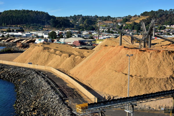
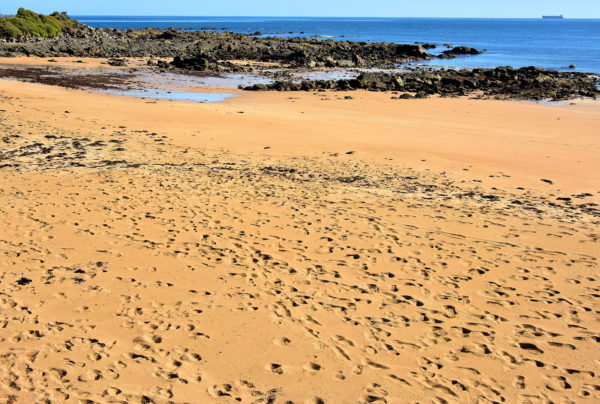
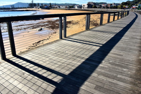
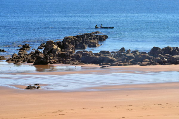
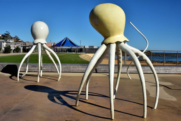
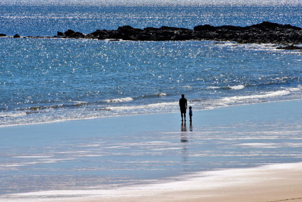
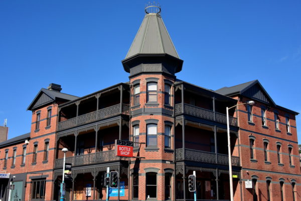
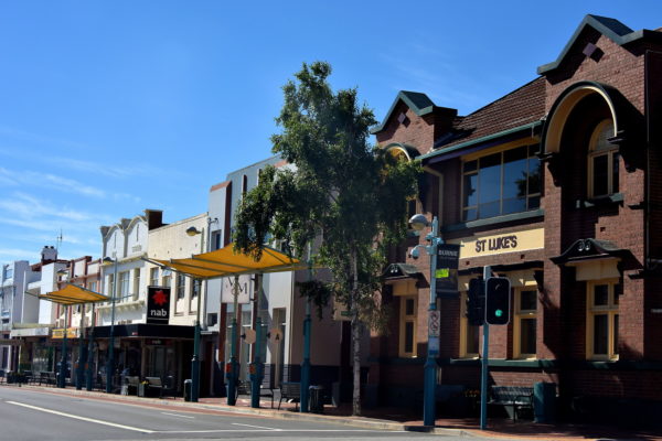
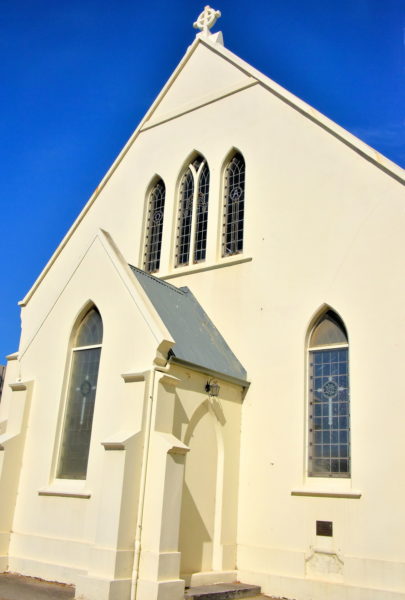
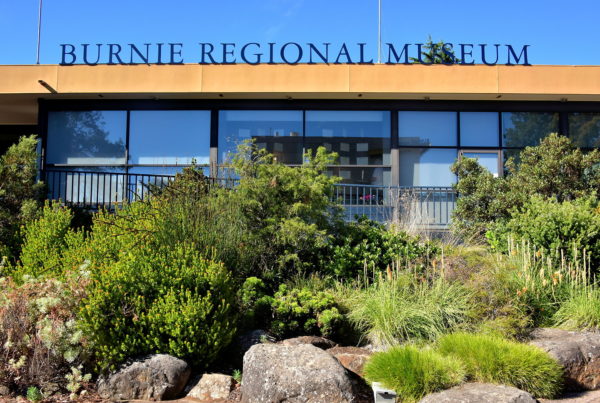
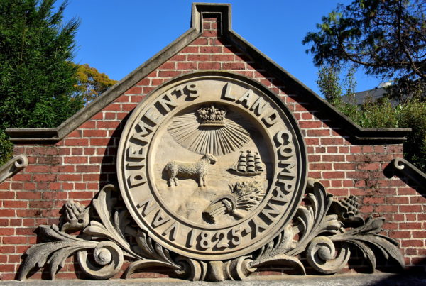
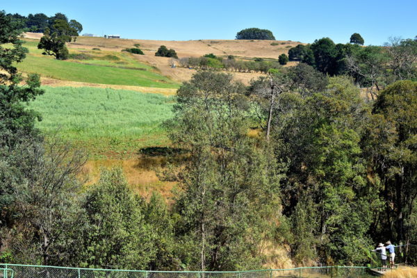
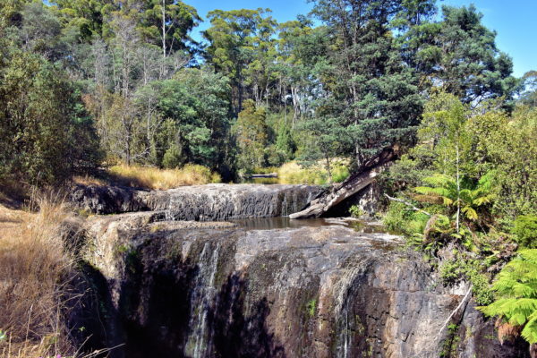
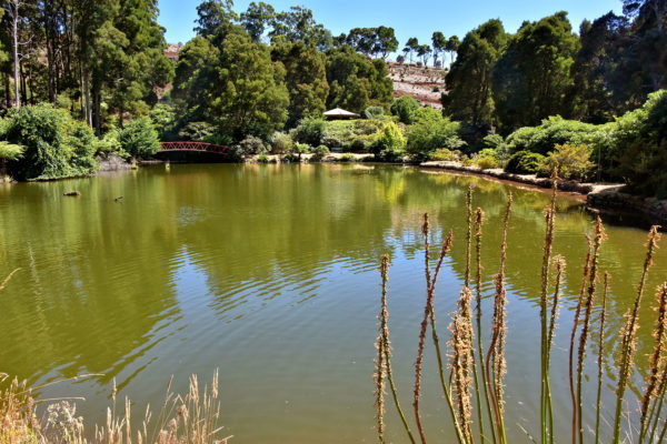
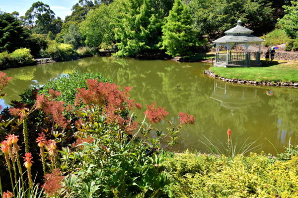
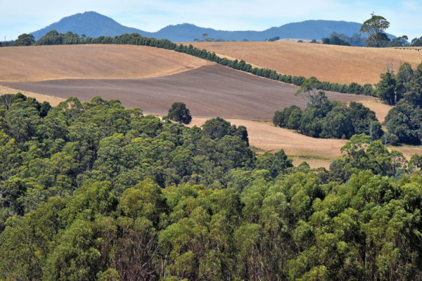
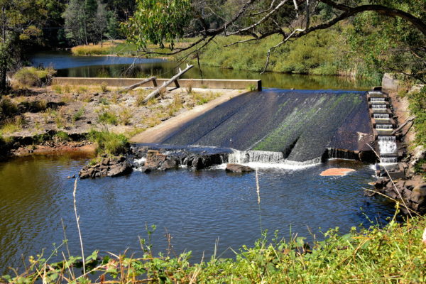
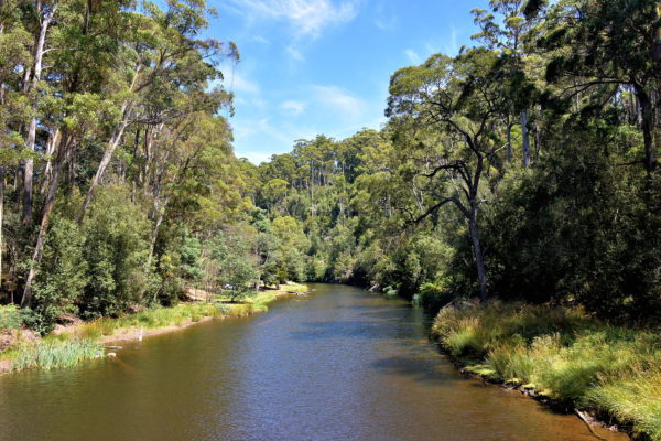
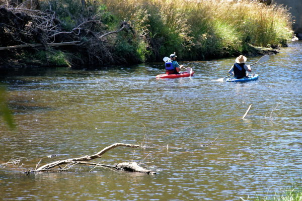
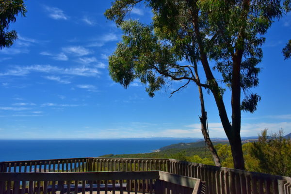
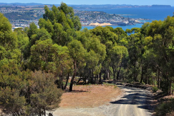
Burnie is a small, coastal city in the North West Region of Tasmania. Since it was established in 1827 and prospered on lumber during the 20th century, Burnie has become a tourist town with walkable attractions in its core and along the beach facing Emu Bay. Equally appealing are the scenic locations within a short driving distance.

Share this
Importance of Wood to Burnie, Australia - Encircle Photos

1 Importance of Wood to Burnie, Australia

When you arrive at Burnie Port – either by cruise ship or aboard the Spirit of Tasmania ferry from Melbourne – your first sight is this enormous pile of chips. Wood has defined Burnie because the surrounding countryside is blessed with forests of eucalyptus trees. These inspired New Zealander Sir Gerald Mussen to establish the Associated Pulp & Paper Mills in 1938. “The Pulp” became the impetus for the city’s explosive grow from the 1940s through the 1960s. APPM was also a major benefactor in developing local infrastructure. After this major employer closed in 2010, the nearly 2,000 foot long Pulp Paper Trail was created at the east end of town to tell their story. In 2013, the Gunns woodchip mill in nearby Long Reach reopened. This good news has resulted in a half million tons of hardwood chips being annually exported from Burnie to Japan and China.

Burnie Port, Burnie TAS 7320, Australia
Enlarge/Slideshow See On Map Directions
Makers’ Workshop in Burnie, Australia - Encircle Photos

2 Makers’ Workshop in Burnie, Australia

Most first-time tourists to Bernie begin their adventure at Makers’ Workshop. Since it opened in 2009, the Visitor Information Centre has been filled with displays about the city’s heritage. Watch artisans as they produce their crafts, especially hand-made paper. Catch a bite to eat in their café and take home a memento from the gift shop. Best of all are the volunteers. They provide maps, can arrange tours and provide tips about the best places to see in and around Burnie.

2 Bass Hwy, Burnie TAS 7320, Australia
Enlarge/Slideshow See On Map Directions
Jessie Rooke Bust at Makers’ Workshop in Burnie, Australia - Encircle Photos

3 Jessie Rooke Bust at Makers’ Workshop in Burnie, Australia

This papier-mâché bust by Pam Thorne and Ruth Rees is one of several historical figures displayed in showcases at Makers’ Workshop. Meet Jessie Spink Rooke. This Londoner came to the area in the 1890s and quickly became a leader in social reform, especially as an advocate for women’s equality and the right to vote. While president of the Women’s Christian Temperance Union in Tasmania, she campaigned vigorously in towns across the island. The suffragette’s tireless efforts were successful. In 1902, women were allowed to vote in federal elections. This right was extended to the state level the following year.

2 Bass Hwy, Burnie TAS 7320, Australia
Enlarge/Slideshow See On Map Directions
West Beach in Burnie, Australia - Encircle Photos

4 West Beach in Burnie, Australia

2,300 feet of golden sand forms the northern shore of Burnie. West Beach extends from the port at Blackman Point and ends here at the base of a hill where Makers’ Workshop is located. Locals love it for sunning and swimming, especially at high tide when waves tend to be moderate. The rocks in the background form a circular headland called Parsonage Point. It is a favorite habitat for eudyptula minors. What’s that? Fairy penguins. These blue-colored, flightless seabirds stand only about a foot high. Just after sunset from October through March, you can watch them emerge from the water and waddle back to their burrows. The best vantage point is from the Little Penguin Observation Centre.

West Beach, 3 North Terrace, Burnie TAS 7320, Australia
Enlarge/Slideshow See On Map Directions
The Boardwalk along West Beach in Burnie, Australia - Encircle Photos

5 The Boardwalk along West Beach in Burnie, Australia

The Boardwalk is the most scenic way to reach Burnie’s central business district from Makers’ Workshop. The wooden promenade embraces the West Beach coastline and runs parallel to North Terrance Road.

The Boardwalk, Burnie TAS 7320, Australia
Enlarge/Slideshow See On Map Directions
Early Tasmania History in Burnie, Australia - Encircle Photos

6 Early Tasmania History in Burnie, Australia

These canoeists are paddling along the picturesque waters of Emu Bay, an activity that has been savored for millenniums. During the Ice Age (Pleistocene Period) over 30,000 years ago, Aboriginal people (Tommeginne) arrived near Burnie by crossing a shallow lake and land bridge. When these were flooded by the ocean about 10,000 years ago, the event created a 26,000 square mile island separated from Australia’s mainland by 123 miles of water. The passage is called Bass Strait, named after British navigator George Bass. He circumnavigated the island aboard the Tom Thumb in the late 18th century. However, the first European to explore the area was Dutchman Abel Tasman in 1642. He named his discovery Van Diemen’s Land as a tribute to Antonio van Diemen, the Governor-General of the Dutch East Indies and the financier of the Great South Land exploration. In 1855, it was renamed Tasmania in recognition of Tasman.

West Beach, 3North Terrace, Burnie TAS 7320, Australia
Enlarge/Slideshow See On Map Directions
Octopus Sculptures along West Beach in Burnie, Australia - Encircle Photos

7 Octopus Sculptures along West Beach in Burnie, Australia

At the eastern end of The Boardwalk is a modern, two-story glass building. This is home to the Fish Frenzy restaurant and the Burnie Surf Life Saving Club, a community of volunteer beach patrollers since 1921. Adjacent to it is an interactive fun area for children. The playground includes activity-triggered water jets which gives kids a surprising blast on a hot afternoon. These two, six-legged octopuses on North Terrace are known as the Burnie Water Sculpture.

2 North Terrace, Burnie TAS 7320, Australia
Enlarge/Slideshow See On Map Directions
Father and Child Walking in Emu Bay in Burnie, Australia - Encircle Photos

8 Father and Child Walking in Emu Bay in Burnie, Australia

When a settlement was formed in northwest Van Diemen’s Land in 1827, the colony, adjacent river and bay were all called Emu after the large endemic bird. In 1842, the town was renamed Burnie in honor of William Burnie, the director of the Van Diemen’s Land Company. As Emu Bay grew as a commercial port, the city also prospered. Burnie now has a population of 20,000 people. This is small in comparison to most cities but qualifies it as Tasmania’s fourth largest. Locals believe this coastal community is the perfect place to live and raise their families.

West Beach, 3North Terrace, Burnie TAS 7320, Australia
Enlarge/Slideshow See On Map Directions
Ikon Hotel in Burnie, Australia - Encircle Photos

9 Ikon Hotel in Burnie, Australia

This is a visual standout in central Burnie representing two, early 20th century Australian design styles. The pyramidal tower is characteristic of Federation Queen Anne. The two levels of balconies encased with ornate cast iron represent Federation Filigree. This was the Club Hotel when it opened in 1912. J. T. Alexander was its proprietor until 1933. This gorgeous landmark is now the Ikon Hotel. The boutique hotel with a dozen suites has been designated by Star Ratings Australia among the country’s top ten

22 Mount Street, Burnie TAS 7320, Australia
Enlarge/Slideshow See On Map Directions
Cattley Street Architecture in Burnie, Australia - Encircle Photos

10 Cattley Street Architecture in Burnie, Australia

Fans of period architecture will enjoy a stroll down Cattley Street. At first glance, the buildings resemble small town storefronts. But there are two design types along these three blocks within the Heritage Area. The first is Federation Free, a form of architecture popular in Australia from 1890 until 1915. Its name is a reference to when the country became a commonwealth in 1901. This trend was followed from 1918 through WWII with simpler, often brick-faced buildings with Art Deco motifs. An example is the current St. Lukes Building on the right. This was the wood yard of the Don Trading Company when it opened in 1921.

Cattley Street & Mount Street, Burnie TAS 7320, Australia
Enlarge/Slideshow See On Map Directions
St George’s Church in Burnie, Australia - Encircle Photos

11 St George’s Church in Burnie, Australia

St George’s Church was built in 1884 on the corners of Mount and Cattley Streets. But the original architect team of H. East and Roy Smith would hardly recognize it. The Anglican church underwent a major, ten-year renovation before reopening in 1969. Inside is an Art Deco entrance plus stained-glass windows. They were added in 1934 for St George’s fiftieth anniversary.

47 Cattley St, Burnie TAS 7320, Australia
Enlarge/Slideshow See On Map Directions
Tasmania Coat of Arms in Burnie, Australia - Encircle Photos

12 Tasmania Coat of Arms in Burnie, Australia

Van Diemen’s Land was a colony of New South Wales until 1825. In 1854, it passed its first constitution and was renamed Tasmania the following year. In 1856, they became a self-governing British colony and created a bicameral parliament. In 1917, George V – King of the United Kingdom and British Dominions – approved the state’s coat of arms. The shield is crowned by a lion and supported by two thylacines. More commonly called Tasmanian tigers, they were hunted aggressively in the mid-19th century and have been extinct since the 1930s. The motto reads, “Fertility and Faithfulness.” This heraldic escutcheon is on the facade of Burnie Supreme & Magisterial Courts.

38 Alexander St, Burnie TAS 7320, Australia
Enlarge/Slideshow See On Map Directions
Burnie Regional Museum in Burnie, Australia - Encircle Photos

13 Burnie Regional Museum in Burnie, Australia

Burnie Regional Museum is a treasure-trove of artifacts and historical stories from Burnie and the North West Region of Tasmania dating back to the 1820s. The collection includes exhibits from the town’s three biggest influencers: Van Diemen’s Land Company, Emu Bay Railway and the Associated Pulp and Paper Mills Ltd. Most fascinating is Federation Street, a recreation of Burnie’s shops and lifestyles in 1900.

Little Alexander St, Burnie TAS 7320, Australia
Enlarge/Slideshow See On Map Directions
Van Diemen’s Land Company Crest in Burnie, Australia - Encircle Photos

14 Van Diemen’s Land Company Crest in Burnie, Australia

Van Diemen’s Land began in 1804 with the founding of Hobart Town. It was a major British convict colony through the mid-19th century. Concurrently, a group of London businessmen received a royal grant for 250,000 acres of land at Circular Head in the northwest corner of the island (today’s Tasmania). The Van Diemen’s Land Company began in 1825 to supply wool. Within fifty years, their primary focus was timbering and later dairy farms. In 1875, they launched the Emu Bay Railway which connected to Burnie. Surprisingly, this first land grant company was also the last when it was purchased in 2016. This VDL crest is displayed outside of the Burnie Regional Museum. It was originally on their building near the Port of Burnie.

Little Alexander St, Burnie TAS 7320, Australia
Enlarge/Slideshow See On Map Directions
Burnie Arts & Function Centre in Burnie, Australia - Encircle Photos

15 Burnie Arts & Function Centre in Burnie, Australia

Since the Burnie Civic Centre opened in 1976, it has served the city and surrounding regions as a venue for performing arts, entertainment productions and community events. Two years later, the Burnie Regional Art Gallery was added. The collection has over 1,000 artworks created on paper by nearly 200 Australian artists. Lovely examples include watercolors, printmaking and photography. In 2009, this cultural facility was rebranded as the Burnie Arts & Function Centre

77/79 Wilmot St, Burnie TAS 7320, Australia
Enlarge/Slideshow See On Map Directions
LINC Tasmania in Burnie, Australia - Encircle Photos

16 LINC Tasmania in Burnie, Australia

LINC was created in 2009 to blend together Tasmania’s State Library, Archive and Heritage Office, LearnXpress (adult education) plus online resource services. Headquartered in Hobart, this division of the Department of Education has nine locations in major Tasmania cities including this one in Burnie. Tasmania has the distinction of founding Australia’s first public library in 1825.

30 Alexander St, Burnie TAS 7320, Australia
Enlarge/Slideshow See On Map Directions
Overlook at Guide Falls near Burnie, Australia - Encircle Photos

17 Overlook at Guide Falls near Burnie, Australia

It is worth the 12 mile drive from Burnie to West Ridgley to visit Guide Falls. If you are short on time or not physically fit, you can appreciate this view of the rolling hills and the river flowing in the canyon from this observation platform at the reserve’s second level. There is also a picnic area to admire the landscape while eating your lunch.

245 W Ridgley Rd, Ridgley TAS 7321, Australia
Enlarge/Slideshow See On Map Directions
Guide Falls Waterfall and Trail near Burnie, Australia - Encircle Photos

18 Guide Falls Waterfall and Trail near Burnie, Australia

The best way to experience Guide Falls is by first following the gravel road to the top entrance. After climbing down the staircase, you will be greeted by this cascade waterfall. The flow is best in the spring or after a rain. Then walk along the tree-lined trail parallel to the Guide River. The descent is scenic and easy. The path measures a short 1,050 feet. So even if you linger, your nature stroll will only take about 15 minutes.

245 W Ridgley Rd, Ridgley TAS 7321, Australia
Enlarge/Slideshow See On Map Directions
Lake Grebe at Emu Valley Rhododendron Garden near Burnie, Australia - Encircle Photos

19 Lake Grebe at Emu Valley Rhododendron Garden near Burnie, Australia

Whether you are an amateur or expert botanist – or just love admiring and smelling pretty flowers – you must visit Emu Valley Rhododendron Garden less than five miles from Burnie. Within this 27 acres are over 22,000 plants! The peak bloom is in the spring; remember, in Australia, this means September through November. The autumn colors in April are also spectacular. But frankly, scenery like this footbridge over Lake Grebe makes this a perfect destination all year.

55 Breffny Rd, Romaine TAS 7320, Australia
Enlarge/Slideshow See On Map Directions
Lake Pearl at Emu Valley Rhododendron Garden near Burnie, Australia - Encircle Photos

20 Lake Pearl at Emu Valley Rhododendron Garden near Burnie, Australia

The walking trails at Emu Valley Rhododendron Garden wind you through rhododendrons and other plants from 25 Asia-Pacific and Middle East countries plus America. The plants are arranged by their place of origin. Along the way you will encircle three ponds called Lake Grebe, Sea of Japan and Lake Pearl with its picturesque gazebo. Guided tours by knowledgeable volunteers on an electric buggy are available. Before or after your leisurely visit, save time to enjoy their tea room. But this lovely experience is only open three days a week on a seasonal basis. So, check its availability before you go.

55 Breffny Rd, Romaine TAS 7320, Australia
Enlarge/Slideshow See On Map Directions
Hellyers Road Whisky Distillery near Burnie, Australia - Encircle Photos

21 Hellyers Road Whisky Distillery near Burnie, Australia

It is almost 11,000 miles from Burnie to the Malt Whiskey Trail in the Scottish Highlands. So, it is an unexpected surprise to find the Southern Hemisphere’s largest whiskey distillery nestled in Emu Valley. If you love scotch, you will thoroughly enjoy visiting Hellyers Road Whisky Distillery. They produce several, award-wining varieties of single malt whisky. Some are aged from ten to twelve years. Highlights include the distillery tour, the chance to wax seal your own bottle, the tasting room and the café.

153 Old Surrey Rd, Havenview TAS 7320, Australia
Enlarge/Slideshow See On Map Directions
North West Region Countryside Encircling Burnie, Australia - Encircle Photos

North West Region Countryside Encircling Burnie, Australia

Burnie is part of Tasmania’s North West Region. The “Cradle to Coast” landscape is defined by rolling hills, thick lots of mature trees and a checkboard of farmers’ fields. The rich red soil is ideal for growing fruits and vegetables plus grapes for wine. Predominate livestock are Saxon Merino sheep for producing wool and cattle for dairy and beef. You might also be surprised to see acres devoted to papaver somniferum, more commonly called poppies. They are exported to pharmaceutical companies in the United States and United Kingdom.

Enlarge/Slideshow
Weir on Emu River near Burnie, Australia - Encircle Photos

22 Weir on Emu River near Burnie, Australia

Emu River is sourced by the Companion Reservoir where it begins its 33 mile, meandering journey. The river’s mouth is east of Burnie where it empties into Emu Bay. From there, the fresh water blends with Bass Strait and into the open sea. Along the way is plenty of picturesque scenery. This weir – originally built for a pulp mill – is one beautiful example.

Fern Glade Road & Wattle Avenue, Emu Heights TAS 7320, Australia
Enlarge/Slideshow See On Map Directions
Tranquility of Fern Glade Reserve near Burnie, Australia - Encircle Photos

23 Tranquility of Fern Glade Reserve near Burnie, Australia

Fern Glade Reserve is an oasis of tranquility about three miles south of Burnie. The park’s 45 acres hug the Emu River. Features include picnic areas and walking trails along the forest accented with giant fern trees and orchids. Fern Glade also offers the rare (but frankly unlikely) chance to see a platypus. This strange looking, semiaquatic creature endemic to Tasmania has a bill like a duck, a tail of a beaver and feet resembling an otter. And despite being a mammal, it lays eggs. Clearly, the platypus was designed by a committee.

Fern Glade Reserve, Fernglade Rd, Stowport TAS 7321, Australia
Enlarge/Slideshow See On Map Directions
Kayakers at Fern Glade Reserve near Burnie, Australia - Encircle Photos

24 Kayakers at Fern Glade Reserve near Burnie, Australia

Fern Glade Reserve is a highly-regarded launching point for kayakers. The typical paddling course of the Emu River is about nine miles. This provides about three hours or more of serene recreation. This is also a treasured spot for fly fishermen. They angle for predominately brown trout from the shoreline or while wading into the river in search of an occupied deep hole. Surprised to hear of trout in Tasmania? The brown, rainbow and brook trout were imported from England in the mid-19th century.

Fern Glade Reserve, Fernglade Rd, Stowport TAS 7321, Australia
Enlarge/Slideshow See On Map Directions
Fernpark Pony & Riding Club near Burnie, Australia - Encircle Photos

25 Fernpark Pony & Riding Club near Burnie, Australia

Horse enthusiasts will like spending time at the Fernpark Pony & Riding Club, especially on events days. This young, female jumper was one of several competitors who put on amazing show with their beloved animals. It seemed fitting the obstacles on this cross-country course are log fences given the importance of timber in northern Tasmania

201 Fern Glade Rd, Stowport TAS 7321, Australia
Enlarge/Slideshow See On Map Directions
Eastern View from Round Hill Lookout near Burnie, Australia - Encircle Photos

26 Eastern View from Round Hill Lookout near Burnie, Australia

Round Hill is a small suburb west of Burnie. If you follow Letteene Road to the top of the mount, you will be rewarded with this eastern view of Bass Strait from a wooden observation platform. Round Hill Lookout is not to be confused with the lighthouse at Round Hill Point. That 100 foot, concrete beacon is along the coast just off of Bass Highway and is barely visible from this elevated vantage.

Letteene Road, Round Hill TAS 7320, Australia
Enlarge/Slideshow See On Map Directions
Western View from Round Hill Lookout near Burnie, Australia - Encircle Photos

27 Western View from Round Hill Lookout near Burnie, Australia

Also on Round Hill is a broadcasting transmission tower. After an easy climb, you can appreciate this elevated view of Burnie. In the distance is Port of Burnie where you cruise ship is waiting to sail you to your next Tasmanian port of call. On the drive back, consider stopping at Wilf Campbell Memorial Lookout on the edge of town for another bird’s-eye perspective.

Letteene Road, Round Hill TAS 7320, Australia
Enlarge/Slideshow See On Map Directions
TOP