Bonaire

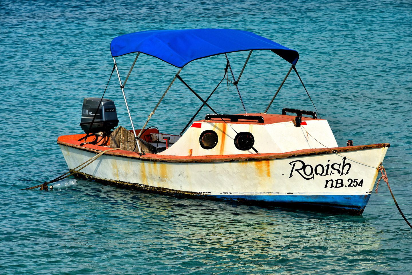
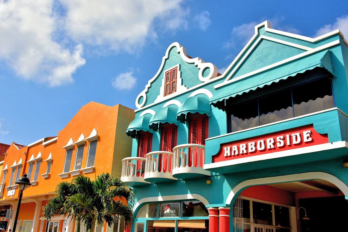
This member of the Dutch ABC Islands is the least developed commercially but is encircled by a spectacular coral reef. This natural underwater treasure is alive with over 400 species of colorful fish and marine life. No wonder Bonaire is called, “Divers’ Paradise.”

Share this

1 Introduction to Kralendijk and Bonaire

With only 18,000 residents, Bonaire is the least populated of the ABC Islands. It was discovered by the Spanish in 1499. This municipality of the Netherlands is part of the BES Islands and the Dutch Caribbean. Bonaire’s position just north of the equator provides a warm, tropical climate filled with sunshine. However, it does not have gorgeous beaches or mega resorts similar to many Caribbean destinations. The capital city of Kralendijk is fun to explore, assuming you do not require a shopping mecca or lots of historical landmarks. Instead, Bonaire’s biggest asset is miles of unspoiled coral reefs renowned by divers. Bon Bini! This means “welcome” in Papiamento.

Roll on Roll off Pier Kaya C.E.B. Hellmund, Kralendijk, Caribbean Netherlands

2 Small Rusting Fishing Boat in Kralendijk, Bonaire

This small, rusting fishing boat with a blue canopy is one of the smallest water crafts you will see in Bonaire’s port. This Dutch island welcomes about 250,000 cruise ship passengers a year. That number is expected to grow to 400,000 in the near future. Ships dock alongside the capital city so it is easy walking to begin exploring Kralendijk. There are also plenty of options available for transportation and tours if you are eager to explore the island.

N Pier Kralendijk, Caribbean Netherlands

3 Fort Oranje and Cannon in Kralendijk, Bonaire

Fort Oranje was built by the Dutch during the 17th century. The fortress was rebuilt almost 200 years later and armed with cannons from a British Navy warship that ran aground off the coast. Those guns were reclaimed by the British a few years later (1807 – 1816) and the four current ones were added. Fort Orange served as the governor’s home until 1837. In 1868, a wooden lighthouse was constructed. It was replaced with this 32 foot, stone version in 1932. This National Monument and Bonaire’s oldest building is now a courthouse. The tower serves as the harbormaster’s office. The fort’s name honors the Netherland’s House of Orange royal family.

Kaya C.E.B. Hellmund & Plaza Wilhelmina, Kralendijk, Caribbean Netherlands

4 Protestant Church in Kralendijk, Bonaire

This Protestant church was built on Wilhelmina Square in 1847 and the tower was added in 1868. After spending a short time in Bonaire, you will notice numerous buildings are painted bright yellow. The Bonairean flag also has a yellow triangle in the upper left corner. This is an obvious reference to their bountiful sunshine. However, the island also has two abundant trees that bloom with yellow flowers: the mesquite tree (also called palo de silla or brazil wood) and the kibrahacha.

Plaza Wilhelmina Kralendijk, Caribbean Netherlands

5 Pasangrahan Town Hall in Kralendijk, Bonaire

This charming colonial building near Wilhelmina Square was constructed for Cornelis Raven Debrot in 1890. This family became wealthy from harvesting salt and cultivating aloe. After he died in 1921, his former home served several governmental purposes. Following a restoration in 1980, it became the Parliament House for the Island Council. Many locals refer to it as the Town Hall.

Kaya C.E.B. Hellmund & N Pier, Kralendijk, Caribbean Netherlands

6 Shopping for Local Fashion and Art in Kralendijk, Bonaire

It is not much fun to travel far from home only to purchase items available at home. So explore a few of the specialty shops in Kralendijk. Island’s Fashions offers swimsuits and sunglasses, essential items for your vacation in Bonaire. Entrepreneur residents sell their crafts from tents in Plaza Wilhelmina. You might also enjoy the Jan and Richter art galleries. They feature works by local artists.

Kaya Grandi #5, Kralendijk, Caribbean Netherlands

7 Shopping at Harborside Mall in Kralendijk, Bonaire

As the name suggests, the Harborside Mall is adjacent to where the cruise ships dock in Bonaire. It is filled with the typical items offered to tourists throughout the Caribbean. Nothing special or unique here. Nor is it duty-free; that is only available at the airport. However, after touring the island during a hot day, the mall’s air conditioning is divine. If you do decide to spend some money, rest assured they accept the U.S. dollar; it became the official currency in 2011.

Kaya Grandi & Kaya Korsow, Kralendijk, Caribbean Netherlands

8 Kaya Grandi Shopping District in Kralendijk, Bonaire

Kaya Grandi is Kralendijk’s main shopping street. Here you will find a mix of local retailers. They include fine stores like Littman’s Jewelers who has served Bonaire for over thirty years. Naturally, there are also plenty of stores catering to divers. At the other end of the spectrum are souvenir shops. You might also consider spending a few minutes at the Royal Palm Galleries Mall or Bonaire District mall.

Kaya Grandi & Kaya Korsow, Kralendijk, Caribbean Netherlands

9 Christ Statue in Front of Church Tower in Kralendijk, Bonaire

A group of Dutch Catholic nuns began a school here in 1856. In 1922, the Sisters of Roosendaal established the San Francisco Hospital. Eight years later, they dedicated this Christ statue. The inscription reads, “Sacred Heart of Jesus, I Trust in You.” In 1957, a humble chapel with a bell tower was constructed. These are now part of the Mariadal Foundation campus of medical facilities, the largest on the island.

Kaya Soeur Bartola, Kralendijk, Caribbean Netherlands

10 Monk Statue with Skull in Niche in Kralendijk, Bonaire

This monk statue with a skull at his feet originally adorned the St. Franciscus convent for the Sisters of Roosendaal. This building, called the Sentro di Salu Convent, now houses the management and administrative offices of Fundashon Mariadal along with their home care facilities. This foundation also operates a nursing home, a hospital and provides other medical services. The organization employs over 500 people.

Kaya Soeur Bartola 2, Kralendijk, Caribbean Netherlands

11 Chief Tasting from Spoon Mural in Kralendijk, Bonaire

Perhaps I am easily influenced, but this colorful mural by Henk Roozendaal of a chief tasting his food made me hungry. The local food is called kuminda krioya. A specialty is goat stews and soups and, of course, fresh fish. Hungry immediately? This mural is on the wall of the Top Supermarket (formerly called Cultrimara). Their bakery offers homemade breads and pastries – perfect for immediate nibbling. Also consider their Dutch chocolate and cheeses for enjoying later.

13 Kaya L. D. Gerharts, Kralendijk, Caribbean Netherlands

12 Young Woman Riding Bike Mural in Kralendijk, Bonaire

Artist Henk Roozendaal was born in the Netherlands and moved to Bonaire in 1999. Since then, he has left his beautiful mark on the capital city with his murals. He specializes in capturing the faces of Bonaireans like this young woman on a bicycle. The artwork adorns the wall of a grocery store on Kaya Soeur Bartola. His paintings are also available in galleries and in a two volume set called, “Portraits of Bonaire.”

13 Kaya L. D. Gerharts, Kralendijk, Caribbean Netherlands

13 Simón Bolívar Statue in Kralendijk, Bonaire

Known as The Liberator, Simón Bolívar helped achieve the freedom of Venezuela, Columbia, Panama, Peru and Ecuador from the Kingdom of Spain during the early 19th century. He was also the founder of Bolivia. During his revolutionary leadership, he sought refuge in Bonaire in 1816. This is one of two monuments on the island commemorating his extraordinary achievements in Latin America. It is located on Kaya Libertador Simón Bolívar street.

Plaza Simón Bolívar Kaya Libertador Simon Bolivar, Kralendijk, Caribbean Netherlands

14 San Bernardo Church’s Clock Tower in Kralendijk, Bonaire

This striking yellow and orange clock tower is the crown of San Bernardo, one of three Catholic churches in Bonaire and the only one in Kralendijk. Two previous churches honoring St. Bernard were constructed on this site: one in the 18th century and the second in 1829. This replacement was built in 1948.

Kaya Libertador Simon Bolivar & Kaya Maria C. Hellmund, Kralendijk, Caribbean Netherlands

15 San Bernardo Church’s Stained Glass Window in Kralendijk, Bonaire

Typically when you see a gorgeous stained glass window like this over the altar of a Catholic church, it portrays the Virgin Mary holding Jesus. However, I suspect (but cannot confirm) that it may portray Saint Bernard, the church’s namesake. Born in 1090, Bernard of Clairaux entered the Cistercian order of monks at an early age. He went on to establish several monasteries and helped define the Knights Templar during the Crusades. He was canonized in 1174 and given the title “Doctor of the Church” in 1830.

Kaya Libertador Simon Bolivar & Kaya Maria C. Hellmund, Kralendijk, Caribbean Netherlands

16 Sailboat and Sailfish Mural in Kralendijk, Bonaire

The name of the sailboat in this mural is “La Sonrisa.” This means “smile” in both Spanish and Papiamentu. Who wouldn’t smile with an enormous sailfish like this on the line? It is easy to arrange for a half or full day charter for deep sea fishing. Typical catches include mahi mahi, tuna and blue marlin. If floating in a boat makes you smile, then arrange some time on a sailboat, catamaran, sunfish or windsurfer. Either way, you will enjoy your time on the Caribbean Sea.

Kaya Sabana, Kralendijk, Caribbean Netherlands

17 False Lighthouse North of Kralendijk, Bonaire

Bonaire has seven active lighthouses. There are three on the east coast and four along the western shores. The most famous is the stone tower at Fort Oranje. There is also this lighthouse along the Harbour Village Marina about twenty minutes north of Kralendijk. The light does not really support navigation. However, its beacon leads to a wonderfully scenic cove.

Kaya Gobernador N. Debrot, Kralendijk, Caribbean Netherlands

18 Queen’s Highway North of Kralendijk, Bonaire

Before driving along the leeward coast of Bonaire, don’t let the name “Queen’s Highway” mislead you. Instead of a busy freeway, this is a narrow sometimes dusty road that hugs the northern shoreline and eventually becomes one-way. You can’t get lost, it is easy to pull over and the pace is definitely slow. But with such beautiful scenery, who wants to go fast?

Queen’s Highway, Rincón, Caribbean Netherlands

19 Leeward Coastline North of Kralendijk, Bonaire

The northern leeward side of Bonaire, from Kralendijk until the no diving zone near Lake Gotomeer, has 23 marked dive sites. Here you will find the water calm and shallow, gorgeous shades of blue plus the perfect water temperature ranging from 78° to 86° F. Local divers tend to have their favorite locations. However, almost any spot along this coastline is beautiful above and below the water. No wonder Bonaire’s license plates read “Divers’ Paradise.”

Queen’s Highway, Rincón, Caribbean Netherlands

20 Formation of Coastline North of Kralendijk, Bonaire

Geologists believe the island of Bonaire was formed when a giant coral reef was pushed up by a distant volcano before emerging from the Caribbean. Over the millenniums, the coral skeletons converted into limestone deposits. This evolution gives the shoreline a pockmarked, sharp and rocky surface. It has been further shaped by relentless waves.

Queen’s Highway, Rincón, Caribbean Netherlands

21 Yellow Dive Site Marker North of Kralendijk, Bonaire

Annotated maps are available showing all of Bonaire’s dive sites. There are so many locations, however, that it is difficult to tell where one starts and another ends. To help you along, you will see yellow rocks with black lettering when you arrive at popular places such as 1000 steps. There are also small road signs with names such as Tolo and Karpata on the north, leeward coast. Each of these areas contains multiple dive sites.

1000 Steps, Queen's Highway, Rincón, Caribbean Netherlands

22 1000 Steps Dive Site North of Kralendijk, Bonaire

Conduct online research of the best scuba diving locations in the world and Bonaire will consistently rank toward the top. Among the island’s 86 dives sites, 1000 Steps is considered one of the best of the best. The underwater scenery is spectacular! Snorkelers enjoy it too. However, its name is a misnomer: there are only 67 limestone-carved steps down to this beach. So why do they call it 1000 Steps? After you carry your gear back up to the car, your lungs will tell you the answer.

1000 Steps, Queen's Highway, Rincón, Caribbean Netherlands

23 Devil’s Mouth North of Kralendijk, Bonaire

If you are not a diver, there are still plenty of ways to enjoy Bonaire’s natural beauty. The activities include biking, bird watching, kayaking, horseback riding, cave diving, rock climbing, off-roading and hiking. Along the way you will enjoy fascinating sites like Devil’s Mouth. This arched-shaped rock formation is along a walking path on Queen’s Highway between 1000 steps and the road sign for Toto.

Queen's Highway, Rincon, Caribbean Netherlands

24 Shore Dives North of Kralendijk, Bonaire

You need a boat to reach the best dive sites on most Caribbean islands. Not true in Bonaire. Here you drive up to your chosen spot, unpack your truck, put on your scuba gear and walk into the water. The coral reef usually starts immediately off shore.

Queen's Highway, Rincón, Caribbean Netherlands

25 Divers Exiting Water North of Kralendijk, Bonaire

There are plenty of dive shops in Bonaire ready to equip you with the gear you need for your scuba diving vacation. Guides and instructors are also available. Don’t be surprised when these stores charge you a $25 nature fee. All divers must purchase this Bonaire National Marine Park annual pass. It is issued by STINAPA, the foundation responsible for the ecosystem within the 6,672 acres of water just offshore.

Queen's Highway, Rincón, Caribbean Netherlands

26 Stacked Coral Towers North of Kralendijk, Bonaire

Several visitors to Bonaire’s coastline are inspired to express their creative side by stacking pieces of coral and rock in order to create towers. Some cairns are simplistic while others are elaborate. A few are rather clever like this one at Karpata with a body, hands and face. I guess this is the equivalent of a snowman in Bonaire.

Kaminda Karpata & Queen's Highway, Rincon, Caribbean Netherlands

27 Concrete Platform for Divers North of Kralendijk, Bonaire

Since it was founded in 1979, the Bonaire Marine Park has done an excellent job of preserving the island’s best natural resource – the coral reefs. They also help the divers to enjoy them. For example, the BNMP created 40 permanent moorings along the coast so boats could tether to them versus dropping an anchor. Concrete blocks have also been placed at some sites – such as this one at Karpata – so divers avoid stepping on delicate coral in shallow water.

Kaminda Karpata & Queen's Highway, Rincon, Caribbean Netherlands

28 Kadushi di Pushi Cactus North of Kralendijk, Bonaire

The kadushi di pushi is a tall, columnar cactus characterized by its yellow needles, hairy spines and a crown that almost resembles a wool hat. It is technically named pilosocereus lanuginosus.

Kaminda Goto Rincon, Caribbean Netherlands

29 Melon Cactus with Red Cephalium North of Kralendijk, Bonaire

This perfectly formed melon cactus appears to be wearing a red and white wool cap to protect itself from the sun. That crown is called a cephalium. It resembles a Fez hat so its nickname is the Turk’s cap. The very sharp needles of the melocactus act as an excellent deterrent against intruders. My ankles learned that lesson the hard and painful way.

Kaminda Goto Rincon, Caribbean Netherlands

30 Lake Gotomeer North of Kralendijk, Bonaire

Lake Gotomeer is a 35 acre saline lagoon. It once was a bay of the Caribbean before being chocked off and isolated by coral. It is on the Ramsar List of international wetlands. Goto Lagoon is located within Washington Slagbaai National Park. This covers 13,500 acres or about 20% of Bonaire. The nature reserve is home to numerous bird species. The most famous is the flamingo. But bird watchers might also spot the Caribbean parakeet and the endangered yellow-shouldered parrot. Both are unique to this island.

Kaminda Goto Rincon, Caribbean Netherlands

31 Island Transportation North of Kralendijk, Bonaire

Bonaire is only 24 miles long and three up to seven miles wide with very few roads outside of Kralendijk. Therefore, it is easy to get around in a single day. Many tourists take an organized tour. The adventurous ones rent a car, truck or Jeep for a self-guided tour. Secure your transportation early if one or more cruise ships are docked. All that was left during my visit was a golf cart. That is a really, really slow way to see the island.

Kaminda Goto Rincon, Caribbean Netherlands

32 Flamingo at Lake Gotomeer North of Kralendijk, Bonaire

I had never seen Caribbean flamingos living in the wild. So it was a real treat to watch Bonaire’s national bird and symbol in their natural habitat at Lake Gotomeer. It is located in the northwest section of the island. Thousands of these crimson birds have also been known to gather at the Pekelmeer Sanctuary on the south end of the island.

Kaminda Goto Rincon, Caribbean Netherlands

33 Close Up of Flamingo Feeding North of Kralendijk, Bonaire

The Caribbean flamingo is technically known as the Phoenicopterus ruber. This means crimson winged and red. They are the largest flamingo species reaching 55 inches and 6.5 pounds. In the wild they can live up to 50 years. While walking slowly along the shallow salt flats, they use their S-shaped neck to reach food. After scooping up a morsel, water strains from their angled beak. Their feathers are not naturally pink. This color comes from the carotenoid pigments they consume from their diet of brine shrimp and other crustaceans.

Kaminda Goto Rincon, Caribbean Netherlands

34 Protestant Church in Rincón, Bonaire

Bonaire’s only other town has less than 2,000 people. Rincón was founded in a north central valley by the Spaniards in 1527, making it the oldest village in the Dutch Caribbean. They selected this location to remain hidden from passing pirate ships. The Spanish used this settlement to house their slaves who worked the surrounding plantations and southern salt fields. This Protestant Church was built in 1934. It provides religious services for about one-third of the local residents.

Kaya Cornelis D.Crestiaan & Kaya Prome, Rincon, Caribbean Netherlands

35 St. Ludovicus Bertranduskerk Church in Rincón, Bonaire

Rincón is a very quiet village with little activity among its handful of streets and humble buildings. The town’s beacon is the St. Ludovicus Bertranduskerk Church. The Roman Catholic community, which is about 60% of the population, built San Ludovico in 1908. Next to this bright yellow façade with a rose window is a bell tower. Unfortunately, the steeple was being refurbished and was covered with scaffolding during my visit.

Kaya Cornelis D.Crestiaan & Kaya Prome, Rincon, Caribbean Netherlands

36 Windward Coast North of Kralendijk, Bonaire

The northeast coast of Bonaire is the windward side of the island. It is constantly battered by the trade winds and rough seas pounding against the shore. The area is devoid of tourist sites and therefore has few tourists. Very little vegetation grows here. It is predominately rocks, lots of them in every size and direction. Yet it is worth seeing this desolate yet beautiful area.

Boka Onima, Rinncon, Caribbean Netherlands

37 Barren Landscape North of Kralendijk, Bonaire

Bonaire’s climate is described as tropical and semi-arid. Yet sections of the island look as desolate and barren as a desert. The ground is parched despite its proximity to the sea. Even cacti struggle to germinate and when they do, their growth seems stunted.

Kaminda Sabana Piedra Krus, Rincon, Caribbean Netherlands

38 Lady of Coromoto Church near Kralendijk, Bonaire

Resembling the campanario of an old Spanish missionary, this bell wall is part of the Lady of Coromoto, a Roman Catholic church. La Birgin di Coromoto was built in 1955 in Antriol which is a community near Kralendijk. It is dedicated to the Virgin of Coromoto who appeared to an Indian tribe named Cospes in 1651 and 1652. She is the Patroness of Venezuela.

La Birgin di Coromoto Catholic Church Kaya Korona 126 Kaya Korona, Kralendijk, Caribbean Netherlands

Yatu Cactus and Divi-divi Tree North of Kralendijk, Bonaire

Vegetation is sparse on Bonaire, especially along the northeast coastline. Cacti are the predominate flora. The island has several species. This lemaireocereus girseus, which the locals call yatu, is very common. Its rows of thorns in a rosette pattern are favored for building fences. In the background is a divi-divi tree (caesalpinia coriaria). They typically grow bent to the west by the force of the steady trade winds.

39 West Side of Lac Bay South of Kralendijk, Bonaire

On the southeast side of Bonaire is Lac Bay. At 1,730 acres, this lagoon is the ABC Island’s largest. It is formed by a coral reef sheltering it from the Caribbean Sea. This west side of Lac Bay along a road called Kaminda Sorobon is surrounded by mangroves, shade trees like this buttonwood and a sandy beach. The nature reserve of Lac Bay is part of Bonaire National Park. This is a perfect spot for a picnic while driving around Bonaire.

64, Kaminda Sorobon, Kralendijk, Caribbean Netherlands

40 Windsurfing at Lac Bay South of Kralendijk, Bonaire

This beautiful, sandy entry into the calm, shallow and warm water is a direct contrast to the east side of Lac Bay closer to the Caribbean shore. At Sorobon, the combination of a steady trade wind across the protected lagoon creates a haven for windsurfing. Many sailboarders rank it among the best in the world. This inviting environment is also ideal for swimming, snorkeling or just sunning at Sorobon Beach.

Kaminda Sorobon 10, Kralendijk, Caribbean Netherlands

41 Slave Hut Ruins South of Kralendijk, Bonaire

Soon after the Spaniards discovered Bonaire in 1499, they captured the local people named Caquetio and deported them to work the copper fields in Hatti. During the early 17th century, the West India Company imported African slaves as labor for the salt pans. Most of these laborers lived in distant Rincón. So the Dutch company built them wooden huts to occupy during the week. During the 1850s, the shabby living quarters were replaced by stone structures. They were so small a person could not stand in them. Slavery was abolished in 1863. Yet a few ruins of these slave huts remain behind. Notice the mountain of sand visible through the window. At Cabaje you can go inside a few of the old huts.

Yellow Slave Huts, EEG Boulevard, Kralendijk, Caribbean Netherlands

42 Salt Flats South of Kralendijk, Bonaire

The Dutch were the first to harvest salt on Bonaire in the early 17th century. It remains the number one, in fact the only, export. A significant share of the south at Pekelmeer (and some of the north) is dominated by salt flats. They look like huge pink lakes teeming with white foam. This unique color occurs as the seawater is evaporated by the sun. This produces algae and bacteria that are eaten by pink brine shrimp, the favorite food of flamingoes. The Cargill company piles the salt into huge mountains before loading the white crystals into nearby freighters. This product is used in cold climates across the world for roads in the winter. Recent research suggests someday the algae can be used to produce oil on the island.

Salt Pier, EEG Boulevard, Kralendijk, Caribbean Netherlands

43 Wild Donkey South of Kralendijk, Bonaire

During most of the 16th century until the Dutch period starting in 1621, the Spanish occupiers imported livestock to the island. This included donkeys used as work animals for the plantations and salt fields. Over time, they were set free resulting in a significant population of wild donkeys. It is common to see them grazing along the road. In 1993, the Donkey Sanctuary Bonaire was formed to care for wounded and sick animals. It can be toured for a small fee. Recently, they have championed efforts to save them from extinction.

Kaya IR. Randolph Statius van Eps, Kralendijk, Caribbean Netherlands

44 Savor the Undeveloped Beauty South of Kralendijk, Bonaire

Say the words “Caribbean Island” and most people think of lush vegetation, sandy beaches, fancy hotels and exciting night life. None of that describes Bonaire. Instead, only 5% of this crescent-shaped island is developed. It offers 112 square miles of unspoiled, natural beauty surrounded by exquisite coral reefs. So enjoy and savor it leisurely.

Van der Valk Plaza Beach Resort Bonaire 80 Julio A. Abraham Boulevard, Kralendijk, Caribbean Netherlands
TOP